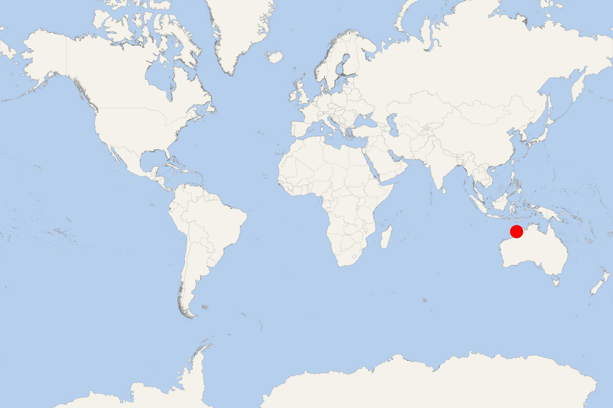
Buccaneer Archipelago (Kimberley, Western Australia)
Cruise Port schedule, live map, terminals, news
Region
Australia - New Zealand - Pacific Ocean Islands
Local Time
2026-02-20 04:55
 83°F
83°F 28.2°C

 Gentle breeze
4.6 m/s
 84 °F / 30 °C
 83 °F / 29 °C
Port Buccaneer Archipelago cruise ship schedule shows timetable calendars of all arrival and departure dates by month. The port's schedule lists all ships (in links) with cruises going to or leaving from Buccaneer Archipelago, Kimberley, Western Australia. To see the full itineraries (ports of call dates and arrival / departure times) and their lowest rates – just follow the corresponding ship-link.
| Day | Ship | Arrival | Departure |
|---|---|---|---|
| 20 May, 2026 Wednesday | 07:00 | 21 May, 13:00 | |
| 27 May, 2026 Wednesday | 03:00 | 21:00 |
Buccaneer Archipelago is an island group located off the Kimberley coast of Western Australia (close to Derby WA). Its nearest inhabited settlement is Ardyaloon (aka Bardi), approx 54 km (34 mi) from the western end of the island group, and approx 2450 km (1522 mi) north of Fremantle-Perth.
The most visited by cruise ships destinations in the Buccaneer Archipelago are Talbot Bay, the Horizontal Waterfalls, Nares Point and the Iron Islands (Ironman's Bay in Sunset Sea/off Westeros).
Next photo shows Irvine Island.
The Archipelago covers over 50 km2 (19 mi2). It lies at King Sound's head and is composed of nearly 800 islands located between King Sound and Collier Bay close to Yampi Sound. The region experiences a huge tidal range of over 12 m (39 ft), which in the 20th century devastated the local pearling fleet.
Buccaneer islands are generally rocky, with many featuring high cliffs. The isles are in almost pristine condition due to their isolation and hard access. Some of them are sparsely vegetated with rain-forest areas and mangroves-fringed patches with built-up silt. The traditional owners of the islands are Mayala (Unggarranggu and Yawijibaya) peoples, although Bardi people own traditional fishing rights.
The archipelago was named in 1820 after William Dampier (1651-1715) - English privateer and buccaneer who in 1688 mapped the area. The name was given by Philip Parker King (1791-1856, explorer of the Australian and Patagonian coasts).
Next photo shows Margaret Island.
Talbot Bay was formed when the Kimberley continent collided with Australia. The collision caused massive heating along the contact's boundaries and the Kimberley region was thus created. The massive geological buckling produced spectacular folds in and around Talbot Bay, which is also the site of the Horizontal Waterfalls, found about 32 km (20 mi) to the east of Cockatoo Island (Buccaneer Archipelago).
The unique waterfall effect is created by the quick tidal fall on the ocean-side of cliffs' gaps. On the inland side of the gaps waters can't escape fast enough and the cascades create a ‘'horizontal waterfall''. When the right conditions exist, it is possible to be up to a 10 m (33 ft) high "waterfall" as waters trapped on landward side cascade out via the narrow gap to the ocean side.
The Horizontal Falls (nicknamed "Horries") formed from a break in-between McLarty Ranges (reaching up to 25 m / 82 ft in width). The natural phenomenon is activated as seawater builds up more quickly on one side of the gaps. Within each tide's change the direction of the fall reverses and creates huge tidal whirlpools. Within this region live the indigenous tribes of Bardi Jawa, Balangarra, Dambimangari and Uunguu people.
