Camargue (France)
Cruise Port schedule, live map, terminals, news
Region
France Rivers
Local Time
2025-09-09 13:19
 77°F
77°F 25.1°C

 Gentle breeze
4.3 m/s
 83 °F / 29 °C
 65 °F / 19 °C
Port Camargue cruise ship schedule shows timetable calendars of all arrival and departure dates by month. The port's schedule lists all ships (in links) with cruises going to or leaving from Camargue, France. To see the full itineraries (ports of call dates and arrival / departure times) and their lowest rates – just follow the corresponding ship-link.
| Day | Ship | Arrival | Departure |
|---|---|---|---|
| 16 April, 2026 Thursday |
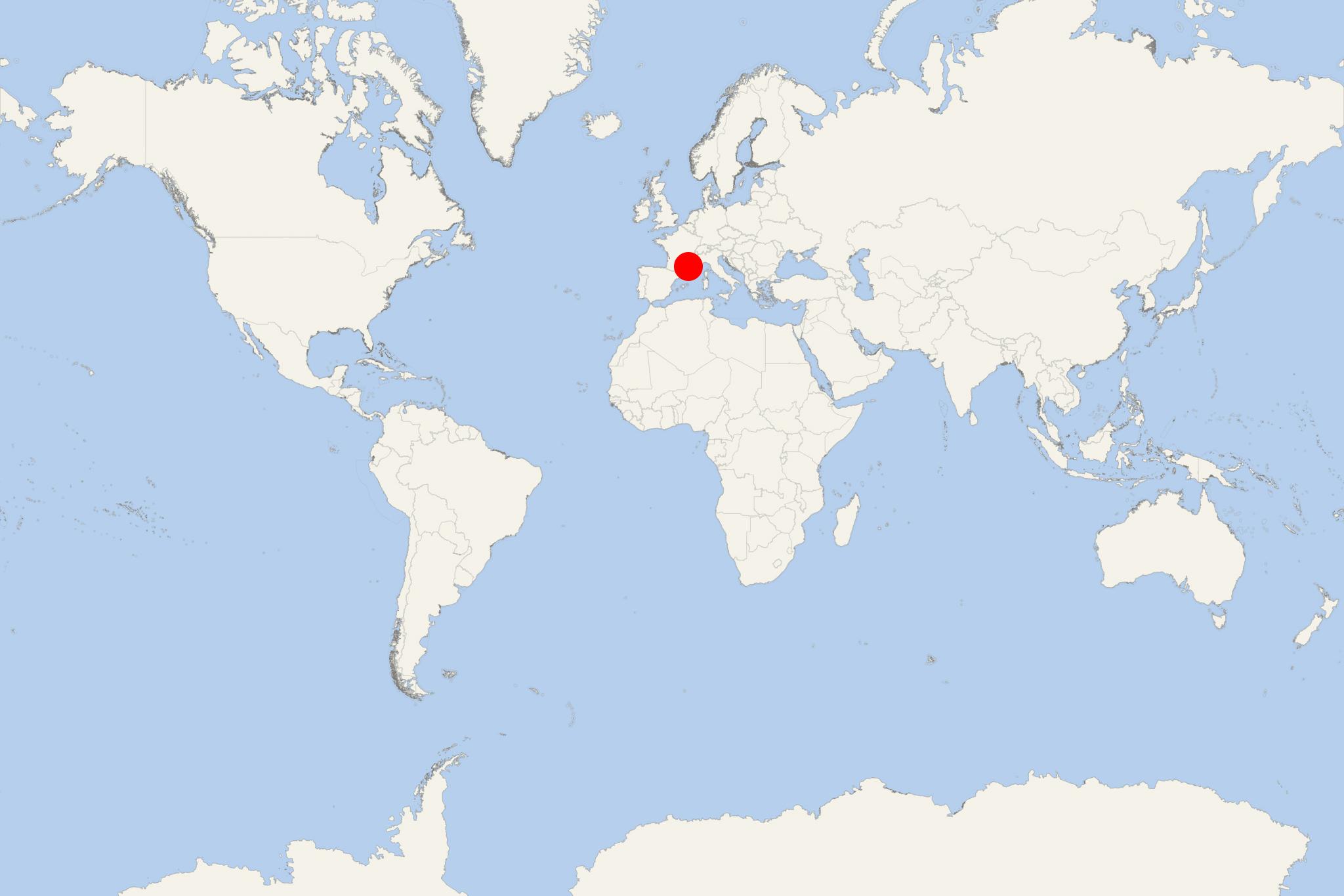
Camargue is a natural region situated south of Arles, France, between the two arms of Rhone River delta (Grand Rhone and Petit Rhone) and the Mediterranean Sea. With an area of more than 930 km2 (360 ml2), Camargue is the largest river delta in western Europe.
The boundaries of Camargue are constantly revised by Rhone River as it transports large quantities of mud downstream – around 20 million m3 per year. Administratively Camargue lies within Bouches-du-Rhone department (named appropriately "Mouths of the Rhone"). It covers parts of the territory of communes of Arles – the biggest commune in Metropolitan France, Saintes-Maries-de-la-Mer – the 2nd largest – and Port-Saint-Louis-du-Rhone. Petite Camargue (little Camargue) is a further expanse of marshy plain, just to the west of Petit Rhone, in the department of Gard.
On December 1, 1986, Camargue was designated Ramsar site (as "Wetland of International Importance"). Officially established in 1970 as regional park and nature reserve, Parc Naturel Regional de Camargue covers a total of 820 km2 (317 ft2). The territory is some of the most protected and most natural in all of Europe. The roadside museum provides background on the history of the area, as well as on its flora and fauna.
- Cruise Industry

Riviera River Cruises UK launches new France itinerary in 2023
Riviera Travel River Cruises UK (fleet) announced it will debut a new 11-day itinerary on the Saone and Rhone rivers in France in 2023. Marilyn...
July 6, 2022 - show more news
