

Edgeoya Island (Svalbard Norway)
Cruise Port schedule, live map, terminals, news
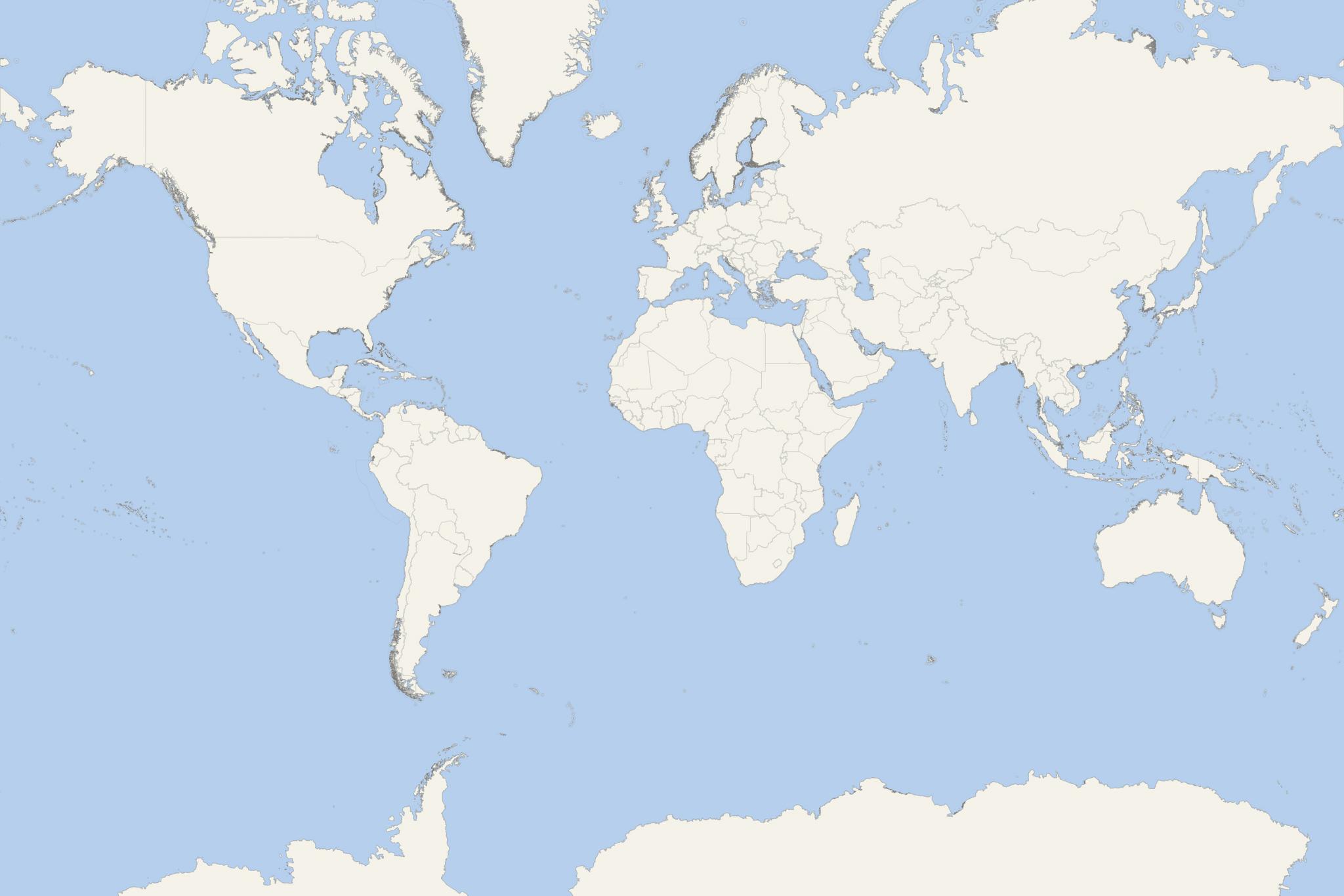
Region
Arctic - Antarctica
Local Time
2026-10-26 10:58
 34°F
1.3°C

 Light breeze
2.7 m/s
 36 °F / 3 °C
32 °F / -0 °C
Port Edgeoya Island cruise ship schedule shows timetable calendars of all arrival and departure dates by month. The port's schedule lists all ships (in links) with cruises going to or leaving from Edgeoya Island, Svalbard Norway. To see the full itineraries (ports of call dates and arrival / departure times) and their lowest rates – just follow the corresponding ship-link.
| Day | Ship | Arrival | Departure |
|---|---|---|---|
| 19 June, 2027 Saturday |  MS Spitsbergen |
Edgeoya Island is one of the three islands in Norway's Svalbard Archipelago - together with Spitsbergen (the largest) and Nordaustlandet. The archipelago is located north of the Arctic Circle, about midway between mainland Europe (Norway) and the North Pole. The island of Edgeoya covers a total area of 5073 km2 (1960 mi2), ranking it Svalbard's 3rd largest. It is named after Thomas Edge (1587-1624, English whaler and merchant). Edgeoya is seldom visited today.
Along with Barentsoya and some of the neighboring isles, Edgeoya forms part of the famous South East Svalbard Nature Reserve, which was established in 1973 by the Norwegian government. There is a large reindeer population, and Edgeoya Island is an important site for reproduction of polar bear. Moreover, the population of polar bear in this Barents Sea region is a unique deme (genetic population).
Edgeoya Island is the setting for Georgina Harding's novel "The Solitude of Thomas Cave" (2007-published), in which the title character successfully over-winters on the isle in 1616–1617.
Kapp Lee (island's headland) is its northwestern point, located north of Dolerittneset Point and on Stretehamna's southern side. Svalbard cruises are among Norway's most popular ship travel destinations - together with Norwegian Fjords (along the country's coastline). In Svalbard, tourism is an important industry, heavily supported (popularized) by "University Centre in Svalbard" and "Svalbard Global Seed Vault".
Svalbard islands were first used as whaling bases (17th-18th centuries), then abandoned. In early-20th-century started coal mining operations, and several permanent settlements were established. In 1925, Svalbard was officially incorporated into the Kingdom of Norway. Today, Norway's Store Norske and Russia's Arktikugol are the only mining companies there. Instead of roads, the only transportation between the settlements is via aircraft, boats and snowmobiles. Svalbard Airport (at Longyearbyen) serves as the archipelago's main gateway.
The list of Svalbard settlements (all located on Spitsbergen) includes Longyearbyen (main and largest), Barentsburg (Russian mining community), Ny-Alesund (research station) and Sveagruva (aka Svea, Norwegian mining community). Svalbard is the world's northernmost settlement with a permanent civilian population. There are other settlements farther north, but they are all populated by rotating groups of researchers.
Edgeoya Island cruise terminal
Cruise ships to Edgeoya Island (Svalbard) anchor in a harbor waterway (suitable site for ship anchorage) located south of Kapp Lee (the island's northwestern point) and north of Dolerittneset Point.
Edgeøya is a remote expedition stop in Svalbard’s Søraust-Svalbard Nature Reserve. Visits focus on guided shore landings, Arctic wildlife and tundra scenery rather than town sightseeing.
Independent sightseeing is not practical. Tourist landings in this protected area are restricted to designated sites and require a guide. Join the ship’s expedition activities; there are no local taxis, public transport or visitor facilities to arrange an alternative outing.
Getting Ashore
Ships anchor offshore rather than dock at a cruise terminal. The Kapp Lee–Dolerittneset area on the island’s northwestern coast is a known landing location, but the actual anchorage and landing beach depend on the expedition plan and conditions.
When a landing is possible, passengers transfer in small expedition boats, usually Zodiacs. Expect a beach landing that may involve stepping into shallow water and crossing loose stones. Wind, swell, ice, poor visibility or polar bears can change or cancel activities at short notice.
Shore time follows the expedition team’s landing rotations. Do not treat the published port-call duration as unrestricted time ashore.
Best Ways to Spend Your Time
Kapp Lee–Dolerittneset: Wildlife and Historic Huts
If this is your landing site, join a guided walk around the coastal area. Three huts, including the octagonal Karosælen trapping hut, provide a focus for learning about earlier hunting and exploration. Historic walrus bones and other remains must be viewed without touching or disturbing them.
Walruses may rest on the beach, while reindeer and Arctic foxes are sometimes seen nearby. Sightings and access are never guaranteed. This suits passengers who prefer a shorter walk with frequent observation stops, although the beach and tundra remain uneven underfoot.
Guided Tundra Walk
Where permitted and offered, choose a longer guided walk to examine Arctic plants, raised shorelines and the landscape beyond the landing beach. Routes and walking groups are selected on the day according to wildlife, ground conditions and passenger ability.
Ask about distance, pace and elevation before joining. Wet tundra, loose stones and soft ground can make a modest walk more demanding than its length suggests. There is no suitable self-guided walking circuit.
Small-Boat Wildlife Viewing
A Zodiac cruise may be offered alongside a landing or as an alternative when going ashore is unsuitable. It provides a different view of the coast and opportunities to observe wildlife from the water, subject to weather and wildlife-protection rules.
This involves less walking, but passengers must still manage the boat transfer and tolerate cold, spray and a potentially bumpy ride. Confirm suitability with the expedition team if you have mobility or back problems.
Observation from the Ship
If landings are cancelled, watch from the open decks with binoculars and follow the expedition team’s commentary. Coastal scenery and distant wildlife can still make this a worthwhile part of the call. Keep warm clothing ready so you can respond to sightings without delay.
Practical Tips
- Choose activities after the briefing: Landing location, duration and walking difficulty are confirmed on board. A named stop on the itinerary does not guarantee access to that site.
- Dress for a wet landing: Follow the operator’s footwear instructions and wear warm layers, waterproof outerwear, gloves and a hat. Protect cameras against spray.
- Stay with your group: Polar-bear precautions and protected-area rules make wandering away unacceptable. Follow guides immediately if a landing is shortened or evacuated.
- Observe without approaching: Let guides set wildlife viewing positions and distances. Never block a walrus’s route to the sea or disturb nesting birds.
- Protect the site: Leave bones, stones, plants and historic objects in place, and follow instructions to avoid fragile vegetation.
- Return as instructed: Be at the designated boat collection point at the stated time. Return transfers may be brought forward if conditions deteriorate.