Spitsbergen Island (Svalbard Norway)
Cruise Port schedule, live map, terminals, news
Region
Arctic - Antarctica
Local Time
2026-02-13 03:11
 5°F
5°F -14.8°C

 Gentle breeze
5.2 m/s
 19 °F / -7 °C
 -11 °F / -24 °C
Port Spitsbergen Island cruise ship schedule shows timetable calendars of all arrival and departure dates by month. The port's schedule lists all ships (in links) with cruises going to or leaving from Spitsbergen Island, Svalbard Norway. To see the full itineraries (ports of call dates and arrival / departure times) and their lowest rates – just follow the corresponding ship-link.
| Day | Ship | Arrival | Departure |
|---|---|---|---|
| 16 May, 2026 Saturday | |||
| 20 May, 2026 Wednesday | |||
| 21 May, 2026 Thursday | |||
| 27 May, 2026 Wednesday |
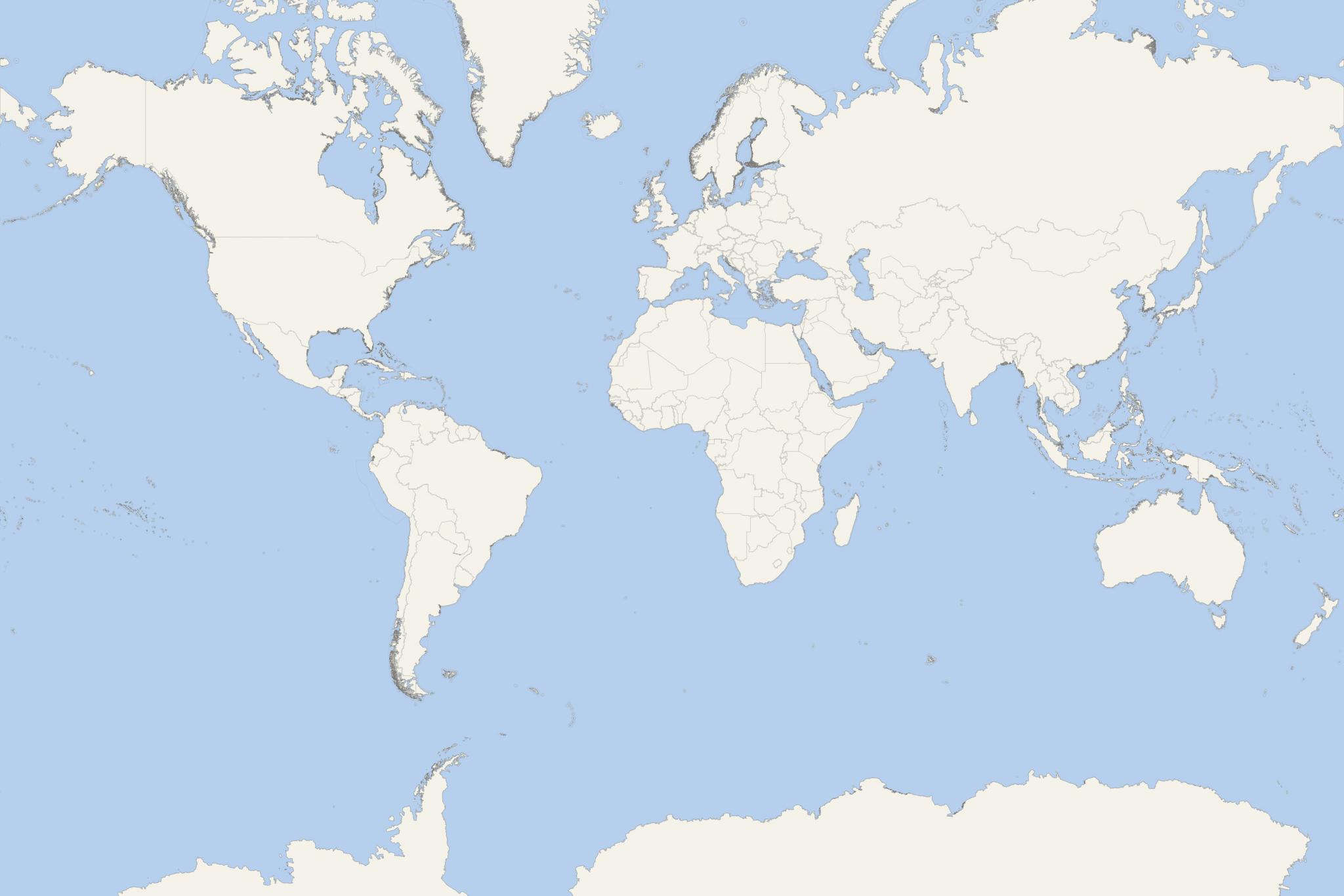
Spitsbergen is the largest of all three islands in Norway's Svalbard Archipelago - together with Nordaustlandet Island and Edgeoya Island. The archipelago is located north of the Arctic Circle, about midway between mainland Norway and the Geographic North Pole - the Earth's northernmost point.
Spitsbergen has total area 39044 km2 (15075 mi2), ranking it Norway's largest (followed by Senja - 1586 km2 / 613 mi2) and the world's 36th largest island. Its highest elevation point (Newtontoppen) is 1717 m (5633 ft).
Svalbard
Svalbard cruises are among Norway's most popular ship travel destinations - together with Norwegian Fjords (along the country's coastline). In Svalbard, tourism is an important and heavily supported industry, popularized) by "University Centre in Svalbard" and "Svalbard Global Seed Vault".
Svalbard islands were first used as whaling bases (in the 17th-18th centuries), then were abandoned. At the beginning of the 20th century started coal mining operations and several permanent settlements were established. In 1925, Svalbard was officially incorporated into the Kingdom of Norway. Today, Norway's Store Norske and Russia's Arktikugol are the only mining companies there.
The list of Svalbard settlements (all on Spitsbergen) includes Longyearbyen (main and largest, population around 2,700), Barentsburg (Russian mining community), Ny-Ålesund (research station), Sveagruva (aka Svea, Norwegian mining community) and Pyramiden (Russian settlement /coal-mining community, population around 20). Moellerhaven is a port/landing point on the island. Instead of roads, the only transportation between the settlements is via aircraft, boats and snowmobiles. Svalbard Airport (at Longyearbyen) serves as the archipelago's main gateway.
Svalbard is world's northernmost settlement with a permanent civilian population. There are other settlements farther north, but they are all populated by rotating groups of researchers. South Spitsbergen National Park (officially "Sor-Spitsbergen") was opened in 1973 and encompasses island's southern end. The nature park includes Lands Wedel Jarlsberg, Torell, and Sorkapp. Over 65% of this territory is covered with ice caps, while much of the rest is tundra (treeless vegetation). The park is also an important bird area with bird sanctuaries on protected islands with freshwater ponds, grassy vegetation and bare rocks. Among those is Isoyane (also recognized as Ramsar site/important wetland). The park supports breeding populations of barnacle goose (around 1000 pairs), common eider (around 1000 pairs), black-legged kittiwake (over 25900 pairs), thick-billed murre (over 200,000 pairs).
Nordvest-Spitsbergen National Park includes parts of northwest Spitsbergen (Lands Albert I and Haakon VII) and some of the nearby islands (including Danes, and Moffen). In park's Bockfjorden part there are hot springs and remains of volcanoes.
14th July Glacier (Fjortende Julibreen)
The Fjortende Julibreen glacier is in the Haakon VII Land and has length approx 16 km (10 mi) and an area of approx 127 km2 (49 mi2). The 14th July Glacier is bounded (to the south) by Reppingen, Lovlandfjellet and Mercantonfjellet, and to the north by Casimir-Périerkammen, Forelryggen and Foreltinden. The glacier extends to Krossfjorden (Fjortende Julibukta) and is named after the France's National Day (14the of July).
Bellsund
Bellsund (aka Bellsound) has length 20 km (12 mi) and is located on the island's west coast, north of Wedel Jarlsberg Land and south of Nordenskiöld Land. This fjord sound is separated from Van Mijenfjorden by Akseloya Island and Mariaholmen Island. In 1615, the Dutch built here the Spitsbergen Island's first permanent whaling station (on the Bellsund's south side).
Hornsund Fjord
Hornsund is a fjord located on the western side of Spitsbergen Island's southernmost tip. The mouth of the fjord faces west to Greenland Sea, and is 12 km (8 mi) wide. The length is 30 km (19 mi), the mean depth/average water depth is 90 m (300 ft), and the max depth is 260 m (850 ft). Hornsund Fjord cuts different geo formations, from upper Mesozoic (east) to Precambrian (west) and is perpendicular to Spitsbergen's major regional fractures.
Hornsund Fjord's coastline is diversified, with several bays at the mouths of glacial valleys. Some of the bays appeared in the early-20th-century due to glacier recession. A research station from Poland operates in Hornsund since 1957.
Isfjorden
Isfjorden is located on the island's west side and is Svalbard's second longest fjord (107 km / 66 mi) - after Wijdefjord (108 km / 67 mi). Alkhornet Mountain is on Isfjord's northern side, as well as the coastal Daudmannsoyra plain. Part of Isfjorden is designated as "Nordre Isfjorden Land National Park" (wilderness reserve). Around Isfjorden are located many of Svalbard's largest settlements - Barentsburg, Longyearbyen (Adventfjorden) and Pyramiden.
Sassenfjorden (part of Isfjorden) is located between Lands of Bunsow and Nordenskiol. Sassenfjord's inner branch is named Tempelfjorden (located between the Lands of Bunsow and Sabine).
Tempelfjord (near Longyearbyen) is part of the Isfjord and popular as day-trip destination during spring (March-April-May) offering activities like snowmobile- and dog-sledge tours. During summer, Tempelfjord is a great destination for boat tours.
Krossfjord
Krossfjorden is a 30-km long fjord located on the west coast of Spitsbergen, the largest and only permanently populated of the Svalbard islands. The fjord branches into Kollerfjorden, Lillehookfjorden, and Mollerfjorden (to the north).
In 1610, the English whaler Jonas Poole (1566-1612) entered Krossfjorden and named it "Close Cove". On a map of 1612, it was labeled as "Closse Sound". A small bay in the southwestern entrance of Krossfjorden was named by Poole "Cross Road" (now Ebeltofthamna). This was Spitsbergen 's first whaling station (1611). The remains of a later station were found there and on a long, low arm of the beach between a lagoon and the fjord. On the other side of lagoon's mouth exists a graveyard from that period. The name of the small harbor soon referred to the fjord, resulting in the modern name "Krossfjorden".
Liefdefjorden
Liefdefjorden (translated "The Love Fjord", aka Liefde Bay / "Love Bay") is located in Haakon VII Land, at the Spitsbergen Island's northern side. This fjord has length of approx 30 km (19 mi). Of its outer part is the Reinsdyrflya Peninsula.
Kongsfjorden
Kongsfjorden (Kongs Fjord) is an inlet (on Spitsbergen's west coast) with length 26 km (16 mi) and width 6-14 km (4-9 mi). At the head of Kongsfjord are situated the glaciers Kronebreen and Kongsvegen. Ny-Alesund is on the fjord's southern shore.
Kongsfjorden was discovered and named (as "Deer Sound") in 1610 by Jonas Poole (1566-1612/English explorer and sealer) who was well-known for his voyages to Bear Island/Bjornoya (1604-1609) and the three whaling expeditions to Spitsbergen (1610-1611-1612).
Magdalena Fjord
Magdalena Fjord (officially Magdalenefjorden) has length 8 km (5 mi) and width 5 km (3 mi). This fjord is on the west coast, between Reuschhalvoya and Hoelhalvoya (Albert I Land). On its southern shore is Gullybukta Bay. Magdalenefjorden is large enough even for the biggest cruise ships, which can turn around 180 degrees inside the fjord.
The first to explore Magdalenefjorden was William Barents (1550-97, Dutch navigator and cartographer) in 1596. Here he discovered walrus tusks, which resulted in naming the fjord "Tusk Bay". Robert Fotherby (English whaler) entered Magdalenefjorden in 1614, claimed it for King James I of England (1567-1625) and named it "Maudlen Sound". He named the sheltered bay on the southern shore "Trinity Harbor".
Subsequently, the British founded a whaling station in Trinity Harbor (currently Gravneset). Later it was taken over by the Dutch. The remains of furnaces (blubber ovens) have been found on Gravneset, along with a graveyard containing around 130 graves dating from 17th to late 18th century.
Raudfjorden
Raudfjord or Raudfjorden ("Red fjord") is a 5 km wide and 20 km long fjord on Spitsbergen's northwestern coast. It has two southern branches (Ayerfjorden and Klinckowströmfjorden) split by Buchananhalvøya Peninsula. The fjord is located on the divide between Haakon VII Land and Albert I Land.
In 1614, Robert Fotherby named Raudfjorden "Red-cliff Sound". The same year the Dutch called it "Monier Bay", after Anthonie Monier (general of their whaling fleet). The Dutch first marked the latter name from 1620 onwards. Fjord's former name was later twisted to Red Bay. Robert Fotherby also named the cape separating its southern branches (currently known as Narreneset).
St Jonsfjorden
St Jonsfjorden (in Oscar II Land) has length 21 km (13 mi) and opens westwards into Forlandsundet Strait. Fjord's most popular glaciers are named (listed alphabetically) Bukkebreen, Bullbreen, Charlesbreen, Devikbreen, Gaffelbreen, Konowbreen, Osbornebreen, Paulbreen, Vegardbreen, Vintervegen.
Trygghamna
Trygghamna is a bay on Spitsbergen's west coast - near the entrance to Isfjord. Here are the remains of a 17th-century English whaling station and an 18th-century Russian station (used by Pomors / Russian settlers, primarily from Novgorod). Alkhornet (mountain forming cliffs on Isfjord entrance's north side) is nearby. In the mountain's upper part there is a nesting colony of guillemots. Below the cliffs is the den of Arctic Foxes, who scavenge on fallen chicks and eggs. Also on the grassy coastal plain tourists may see reindeer and some bird species - barnacle geese, eider ducks, Glaucous gulls, Brunich's guillemots.
Woodfjorden
Woodfjorden is a fjord located on Spitsbergen's north shore. By length (64 km / 40 mi) it is ranked Svalbard's 4th longest fjord. It is located at nearly 80 degrees north and is constantly affected by glaciers. Woodfjord is west of Andree Land (separating Wijdefjorden and Woodfjorden).
Hinlopen Strait
Hinlopen Strait (officially Hinlopenstretet) separates Spitsbergen from Nordaustlandet Island and has length 150 km (93 mi) and width 10-60 km (6-37 mi). As waterway, it is not easily passable due to pack ice in the region.
The strait is named after Thijmen Jacobsz Hinlopen (1572–1637), one of the leaders of Noordsche Compagnie (Dutch merchant and whaling company). Its northern part (between the peninsulas Mosselhalvoya and Storsteinhalvoya) is called Nordporten. Its southern part (Sorporten) widens up between Bastian Islands and Brasvellbreen Glacier.
Hinlopen Strait was known to European whalers since early-17th-century and was extensively used for hunting. Many scientific Arctic expeditions have passed through the strait in the late-19th-early-20th centuries. Among those was the Russian-Swedish "Arc-de-Meridian" expedition (1899-1904), which had one main station in Sorgfjord. In 1957, Sweden established its national station in Kinnvika (Murchisonfjord), but this base was abandoned in 1959.
Spitsbergen Island cruise terminal
Depending on weather, cruise ships anchor near the island's coast and offload their passengers via tender boats or Zodiac boats (inflatable boats on small-sized luxury- and expedition-type cruise vessels).
Spitsbergen Island tours, shore excursions, hotels
City Tours and Shore Excursions
- Reindyrfla is the island's largest tundra area featuring lakes and a vast plain providing grazing ground for waders and reindeer breeded here. On the lakes you can spot red-throated loon (aka diver, migratory seabird) and king eider (sea duck).
- Alkefjellet is a bird cliff in Ny-Friesland (facing towards Hinlopen Strait).
- The list of cruise tour activities and land excursions offered on the Spitsbergen Island includes: wildlife watching (walrus, birds), sea kayaking, jiking, boat excursions, dog-sledging and snowmobile tours.
- Cruise Industry
Ponant schedules 12-night North Pole/European Arctic cruises for Le Commandant Charcot
Ponant Explorations has introduced a new 12-night expedition roundtrip from Longyearbyen (Spitsbergen Island, Svalbard Archipelago), aboard Le...
September 13, 2025 - Accidents
AIDAluna assists in Arctic rescue operation off Spitsbergen (Svalbard Norway)
On the night of June 3rd, the Germany-flagged ship AIDAluna was involved in a coordinated rescue operation in the Arctic Circle following the...
June 5, 2025 - Cruise Industry
HX-Hurtigruten Expeditions launches first-ever loyalty program
Hurtigruten Expeditions (HX) has launched “HX Explorers,” its first dedicated loyalty program designed to reward both experienced...
November 11, 2024 - Cruise Industry
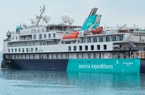
Aurora Expeditions Australia unveils Arctic & Beyond 2025 voyages
Aurora Expeditions Australia has unveiled its Arctic & Beyond 2025 program, introducing 4 new voyages and 7 Ultimate Adventures for travelers...
November 20, 2023 - Cruise Industry
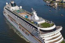
Crystal Cruises' ships Serenity and Symphony in 2025 visit 281 ports/112 countries
Crystal has unveiled its 2025 itineraries for Crystal Serenity and Crystal Symphony, following the brand's acquisition by the A&K Travel Group...
September 14, 2023 - Cruise Industry
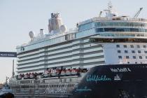
TUI's cruise ship Mein Schiff 4 integrates sustainable biofuel into operations
In a notable step towards achieving carbon-neutral cruising, TUI's vessel Mein Schiff 4 achieved a significant milestone by integrating sustainable...
July 25, 2023 - Cruise Industry
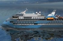
Albatros Expeditions welcomes its newest ship Ocean Albatros in Tromso (Norway)
Copenhagen Denmark-based company Albatros Expeditions/fleet (specializing in polar cruisetours) announced the arrival of its newest fleetmate - Ocean...
June 26, 2023 - Cruise Industry
AIDAluna is the first AIDA Cruises' ship to arrive in Kiel (Germany) this season
AIDA Cruises is set to make 64 stops in Kiel Fjord during summer 2023, with 3 of its ships including AIDAnova, AIDAluna, and AIDAbella. AIDAluna was...
May 1, 2023 - Cruise Industry
Quark Expeditions introduces its Arctic 2024 season
Quark Expeditions celebrated the launch of Arctic 2024 season offering more ways to experience Greenland, Svalbard Norway, and the Canadian Arctic...
November 9, 2022 - Cruise Industry

PONANT announces Le Commandant Charcot ship's 2024 Arctic cruise schedule
The French ltra-luxury travel company PONANT launched sales of polar exploration voyages scheduled for Le Commandant Charcot's 2024 Arctic season...
November 7, 2022 - show more news
