Svalbard Islands (Arctic Norway)
Cruise Port schedule, live map, terminals, news
Region
Arctic - Antarctica
Local Time
2026-02-08 13:41
 13°F
13°F -10.8°C

 Light breeze
1.9 m/s
 18 °F / -7 °C
 8 °F / -13 °C
Port Svalbard Islands cruise ship schedule shows timetable calendars of all arrival and departure dates by month. The port's schedule lists all ships (in links) with cruises going to or leaving from Svalbard Islands, Arctic Norway. To see the full itineraries (ports of call dates and arrival / departure times) and their lowest rates – just follow the corresponding ship-link.
| Day | Ship | Arrival | Departure |
|---|---|---|---|
| 25 May, 2026 Monday | |||
| 30 May, 2026 Saturday |
Svalbard (formerly Spitsbergen) is a Norwegian archipelago (island group) in the Arctic Ocean. Svalbard is located north of mainland Europe, about midway between North Pole and mainland Norway. Svalbard has land area approx 61000 km2 (23560 mi2) and is dominated by Spitsbergen Island (over half of the Archipelago's land), followed by Nordaustlandet and Edgeoya.
All settlements are on Spitsbergen, except the two meteo outposts on Bjornoya and Hopen. The Archipelago's total population is ~3000 (including 439 Russians and Ukrainian, 10 Polish, 322 other/non-Norwegians). Longyearbyen is Svalbard's administrative center and largest settlement.
Administratively, Svalbard is not a part of any Norwegian county. However, it forms an unincorporated region administered by a Governor appointed by Norway's Government. Since 2002, Svalbard's main settlement (Longyearbyen) has a local government, similarly to mainland Norwegian municipalities. Svalbard is the world's northernmost settlement with a permanent civilian population. Other settlements located farther north are populated only by groups of rotating scientists/researchers.
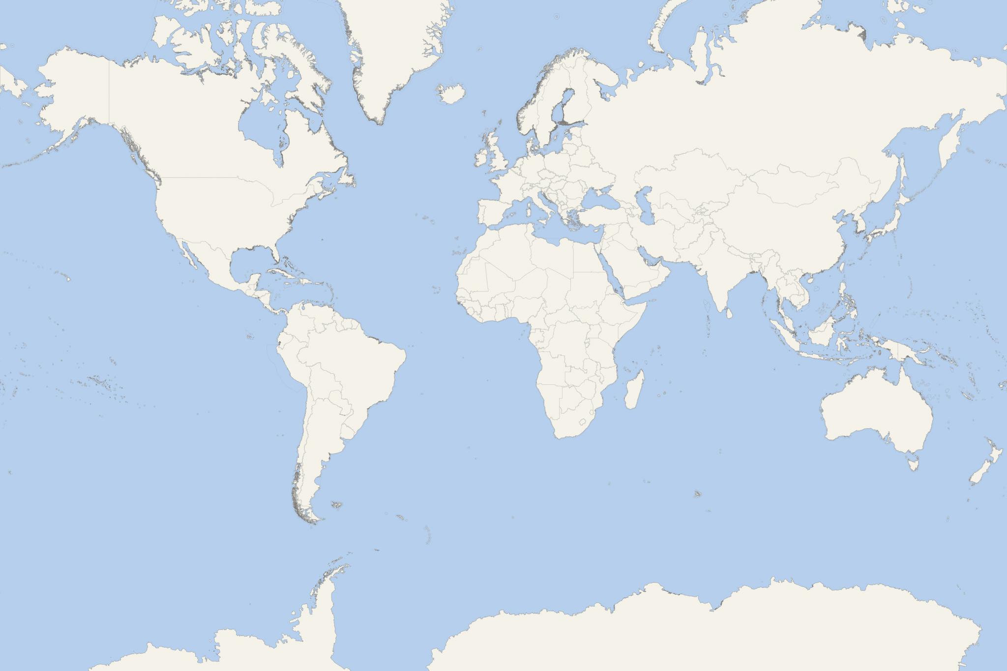
Next map of the Svalbard Islands shows all cruise ports/destinations in the Archipelago.
The Archipelago has an Arctic climate, though with higher temperatures than other regions at the same latitude. Its flora takes advantage of the midnight sun to compensate for polar nights. Svalbard is the breeding ground for plenty of seabirds, and also features reindeer, Arctic fox, polar bears, and certain marine mammals. 23 nature reserves and 7 national parks cover 2/3 of the Archipelago, protecting the untouched, natural environment. Nearly 60% of the Svalbard Archipelago is covered with glaciers. The islands feature many fjords and mountains. No roads connect Svalbard's settlements. Snowmobiles, boats and aircraft serve inter-community transport. Longyear, Svalbard Airport, serves as Archipelago's main gateway.
Jan Mayen Island and Svalbard are assigned ISO 3166-1 alpha-2 country code SJ. These areas are administered by Norway, even though they are separated by over 500 nautical miles distance (950 km / 600 mi) and have different administrative structures.
The cruising season runs from late-April through late-September. For season 2019, Svalbard was visited by cruise ships ~300 times, with nearly 20,000 tourists. Most vessels are smaller-sized expedition ships, among which are MS Fram, MS Spitsbergen and MS Fridtjof Nansen (HX), L'Austral and Le Boreal (Ponant), Scenic Eclipse (Scenic), Hanseatic Nature (Hapag-Lloyd), Silver Cloud and Silver Explorer (Silversea). Season's largest liner was MSC Preziosa (at Longyearbyen on June 23, port stay 8 am-10 pm). For Longyearbyen is planned the construction of a new floating pier.
Effective January 1, 2020, NMA (Norwegian Maritime Authority) has new rules for passenger shipping in Svalbard. The regulations require all vessels to comply with IMO's Polar Code (January 2017-enforced, for polar water shipping) which is mandatory under both SOLAS (Safety of Life at Sea) and MARPOL (Prevention of Pollution from Ships) maritime conventions. NMA's new rules apply to both Norway- and foreign-flagged vessels navigating in Svalbard's waters. Ships without SOLAS-issued "Passenger Ship Safety Certificate" were granted a 5-year period for the shipowner companies to schedule drydock refits for necessary vessel conversions and machinery modifications.
- In 2020, due to the global Coronavirus crisis, Norway implemented border closure (March 15 through August 20). The policy effectively canceled most Arctic cruise expeditions, also banning international tourists from entering the Svalbard Archipelago which season runs in June-July-August. For domestic tourism, Svalbard was reopened on June 1 (for domestic tourists) and June 15 (Baltic countries residents). Following Svalbard's reopening for cruising, Norway's Government announced new regulations for expedition cruise ship operations. The new rules include ships carrying 50% of their max passenger capacity, employing additional med staff and requiring health certificates from all travelers. Each cruise shipping company was required to develop and apply infection control plans approved by Svalbard's Governor.
- In 2021, Norway banned cruise ships from offering helicopter tours and mini-submarine tours in Svalbard, due to concern about how tourism affects the fragile arctic environment. The Norwegian government also proposed to limit the visiting ships' max passenger capacity to 200, as well as to limit the number of disembarking people to 42 per landing. According to the new rules, the required minimum distance from polar bears is 500 m (1640 ft). The use of camera drones is prohibited in some areas. Out of consideration for polar bears and seals, in spring and summer, motorized shipping on sea ice is forbidden. During the Arctic breeding season, a 5-KN speed limit (9 kph / 6 mph) is set for navigation close to bird colonies.
Statistics show that the Svalbard Islands are visited by more and more cruisers. In 2008, 28x boats brought ~29,000 tourists. In 2018, 15x boats brought ~46,000 tourists. Smaller-sized expedition ships in 2008 were 24x (with ~10,000 tourists) and in 2018 - 59x (with 21,000 tourists).
According to the Norwegian Environment Agency, the number of Svalbard visiting tourists had surged from 29,600 (1996) to 124,000 (2019).
Norskoya Island
Ytre Norskoya Island (Outer Norway Island) is located off Spitsbergen's northwestern coast. On Norskoya's southern coast are the remains of a whaling station, rivaling in size Smeerenburg (on Amsterdam Island). Ytre Norskoya was Europe's northernmost outpost (until early-19th-century) and the world's northernmost permanent settlement (until the 1950s).
The buildings on Norskoya Island were used by workers. Further west there is a cemetery with 165 graves. The station belonged to Noordsche Compagnie (Dutch whaling trade company). It was built in early-17th-century as the Amsterdam-owned Smeerenburg didn't allow Dutch whaling ships at Smeerenburg. Zeeusche Uytkyk (high look-out point on Norskoya) was used by the Dutch to monitor the surrounding waters for Bowhead whales. This station was abandoned in 1670.
Kvitoya Island
Kvitoya Island is located approx 98 km (61 mi) from Victoria Island (Russian Arctic territory, part of Franz Josef Land). The Russian island is closer than Svalbard (Nordaustlandet, to the west of Kvitoya). The Norwegian island has total area approx 682 km2 (263 mi2). It is uninhabited and part of Nordaust-Svalbard Nature Reserve.
Kvitoya is Norway's easternmost part. On the east coast is the rarely visited Kraemerpynten. Due to the many polar bears on Kvitoya, land tours are not offered/forbidden. Instead, cruise tourists enjoy wildlife viewing via zodiacs (large motorized RIB boats used for landings). Herds of walrus can also be seen.
Kvitoya is almost completely covered by the ice cap Kvitoyjokulen - with land area 705 km2 (272 mi2) and an hourglass-shaped dome. The ice-free land areas are barren and rocky, only a few km2 large. The largest one (Andreeneset) is on the southwestern corner. Andreeneset is one of these spits where Salomon August Andree's balloon expedition to the North Pole in 1897 came to a tragic end. The Andree's (1854-1897) balloon was launched in 1897 and was airborne for 60 hours before it crashed.
Kvitoya was discovered in 1707 by Cornelis Giles (1675-1722, Dutch navigator and cartographer) and showed on maps (under the name "Giles Land") in different sizes, shapes and positions throughout the following centuries. The island received its current name in 1876, by Johan Kjeldsen (a whaler from Tromso).
- Cruise Industry
Silversea's ship Silver Endeavour completed historic Northwest Passage cruise
Silversea has concluded its 2025 Arctic season after deploying Silver Endeavour from May through September across remote sectors of the High Arctic...
September 20, 2025 - Cruise Industry
Aqua Expeditions announces Arctic Frontier voyages from June 2026
Aqua Expeditions (fleet) will commence voyages to Svalbard and the broader Arctic Circle beginning June 2026, expanding the operational remit of...
September 19, 2025 - Cruise Industry
Ponant schedules 12-night North Pole/European Arctic cruises for Le Commandant Charcot
Ponant Explorations has introduced a new 12-night expedition roundtrip from Longyearbyen (Spitsbergen Island, Svalbard Archipelago), aboard Le...
September 13, 2025 - Cruise Industry
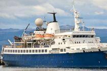
G Adventures reintroduces polar cruises with new ship and itineraries
G Adventures is set to resume its Arctic cruise operations in 2026, marking a return to the region after a hiatus since 2019. The tour operator will...
June 7, 2025 - Accidents
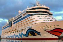
AIDAluna assists in Arctic rescue operation off Spitsbergen (Svalbard Norway)
On the night of June 3rd, the Germany-flagged ship AIDAluna was involved in a coordinated rescue operation in the Arctic Circle following the...
June 5, 2025 - Cruise Industry
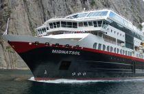
Hurtigruten expands fleet with MS Midnatsol amid growing coastal demand
Hurtigruten has announced the expansion of its premium Signature offering, with MS Midnatsol (fka MS Maud) scheduled to join the fleet in summer 2026...
May 24, 2025 - Cruise Industry
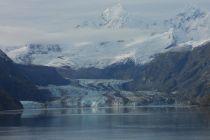
HX-Hurtigruten Expeditions unveils 2026-2027 season, marking 130 years of polar exploration
HX-Hurtigruten Expeditions has unveiled its 2026-2027 season, marking its 130th year of exploration. Building on its legacy as a pioneer in...
September 23, 2024 - Cruise Industry
ECN-Expedition Cruise Network expands with 3 new members ahead of 2024 conference
The Expedition Cruise Network (ECN) has expanded its membership with the addition of 3 new travel brand companies/operators ahead of its inaugural...
September 18, 2024 - Cruise Industry
HX-Hurtigruten Expeditions unveils 2026-2027 itineraries, celebrating 130 years of exploration
HX-Hurtigruten Expeditions has unveiled its 2026-2027 expedition program, featuring new itineraries across Antarctica, Alaska, Greenland, Norway, and...
September 17, 2024 - Cruise Industry
Aurora Expeditions Australia unveils Arctic & Beyond 2025 voyages
Aurora Expeditions Australia has unveiled its Arctic & Beyond 2025 program, introducing 4 new voyages and 7 Ultimate Adventures for travelers...
November 20, 2023 - show more news
