

Elafonisos Island (Greece)
Cruise Port schedule, live map, terminals, news
Region
Mediterranean - Black Sea
Local Time
2026-11-04 09:48
 65°F
18.2°C

 Light breeze
2.8 m/s
 68 °F / 20 °C
56 °F / 14 °C
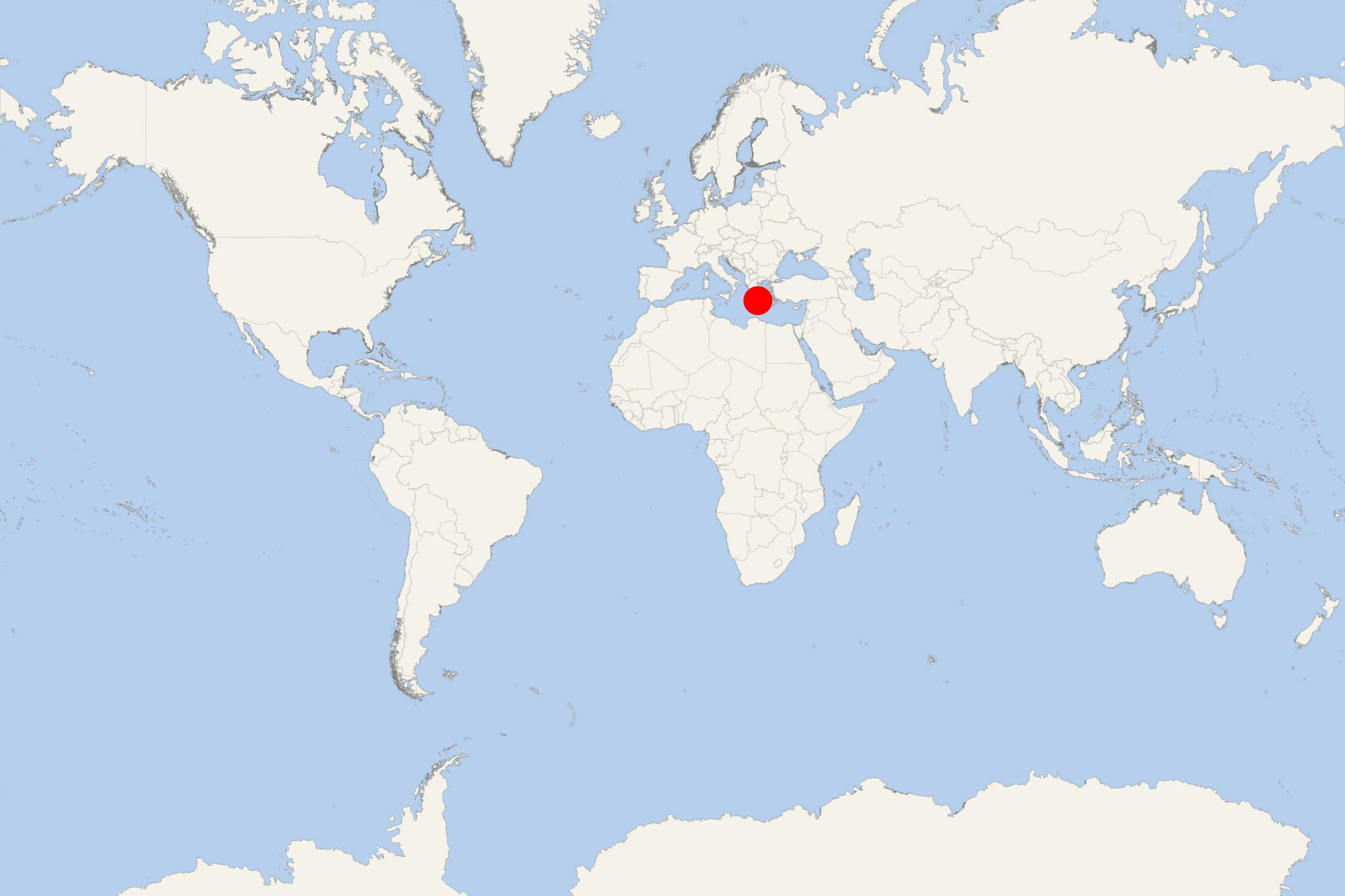
Elafonisos Island (port locode GRELN) is a small Greek island located between Peloponnese (mainland Greece) and Kythira Island. The island has land area of 19 km2 (7 ml2) and population around 1,000. It decreases to under 500 during winter and increases significantly during summer (July-August) when it is visited by up to 3,000 tourists per day. Many of the visitors arrive via Ro-Pax ferries, also bringing around 1,600 cars.
The island is popular for its blue-green waters and sandy beaches, best known of which are Sarakiniko, Fragos, Panagias Nissia and Punta Beach.
Elafonisos Island cruise terminal
Cruise ships to Elafonisos Island dock (anchor) at Elafonisos - port town on the northern coast.
Elafonisos is best suited to a relaxed village stroll and time on the beach. Easy independently around the harbor and nearby Kontogoni Beach; independent with some planning or transport for Simos and the beaches farther from town.
Getting Ashore and Around
Plan for an offshore anchorage and tender transfer to Elafonisos town on the northern coast, subject to your ship’s arrangements. Confirm the landing point and last tender time before leaving. The village waterfront is compact, so local sightseeing normally needs no onward transfer. :chatgpt-content-reference{index="0"}
For beaches beyond town, arrange both the outward journey and the return before setting off. Do not assume taxis will be waiting at the landing. Seasonal buses and beach boats have operated, but check current services locally rather than relying on older online timetables. A ship-arranged beach transfer, if offered, is a practical choice when independent transport cannot be confirmed. :chatgpt-content-reference{index="1"}
Best Ways to Spend Your Time
Harbor, Agios Spyridon and Kontogoni Beach
Allow around 2–3 hours for a waterfront walk, the small church of Agios Spyridon and a swim or café stop. The church stands on a tiny islet linked to the village by a short bridge. Kontogoni Beach lies west of the church, within the settlement, making this the simplest option without transport. Most walking is gentle, with some uneven paving and soft sand. :chatgpt-content-reference{index="2"}
Simos Beach
Simos is the main choice for a longer beach visit, with neighboring sandy bays backed by dunes and coastal vegetation. It is approximately 5 km (3.1 mi) from the village, around 10 minutes by car before allowing for parking and the walk onto the sand. Plan roughly 3–4 hours ashore for a comfortable visit, plus tender time. :chatgpt-content-reference{index="3"}
Use a confirmed return transfer rather than treating the road journey as a casual walk. Beach facilities operate seasonally; carry water and sun protection. Choose where to swim according to wind and sea conditions, and use existing access paths through the dunes.
Panagia Beach at Kato Nisi
Panagia offers an alternative sandy beach on the island’s western side, with views toward offshore islets. It is approximately 4.5 km (2.8 mi) from the main settlement, around 10 minutes by car. Allow 2–3 hours with prearranged transport, or choose it instead of Simos rather than trying to visit both during a short call. The nearby church of Panagia Katonisiotissa can provide an additional stop if time permits. :chatgpt-content-reference{index="4"}
Self-Guided Waterfront Walk
Easy: approximately 2 km (1.2 mi) return, depending on your landing point and how far you follow Kontogoni Beach. Allow 30–40 minutes of walking, or 1.5–2.5 hours with sightseeing, refreshments and an optional swim.
- Harbor landing: identify your return boarding point before following the waterfront into the village.
- Fishing harbor: pause beside the small boats, keeping working quays and ferry access clear.
- Agios Spyridon: cross the short bridge to the church for waterfront views; enter only if open.
- Village waterfront: continue past cafés, tavernas and small shops.
- Kontogoni Beach: walk along the accessible shore or stop for a swim, then retrace your route to the landing.
The route is mostly level. Uneven surfaces, the church bridge and soft beach sand may require care or a shorter route for visitors with limited mobility. :chatgpt-content-reference{index="5"}
Practical Tips
- Keep the plan simple: the village and one beach are enough for most short calls.
- Protect your return time: aim to reach the landing at least 45–60 minutes before the last tender, allowing more if your ship advises it.
- Confirm beach pickup details: agree on an exact meeting place and time before leaving town.
- Prepare for sun and wind: carry drinking water, a hat and sunscreen, and keep belongings secure while swimming.