Koh Lanta Island Thailand
Cruise Port schedule, live map, terminals, news
Port Koh Lanta Island Thailand cruise ship schedule shows timetable calendars of all arrival and departure dates by month. The port's schedule lists all ships (in links) with cruises going to or leaving from Koh Lanta Island Thailand. To see the full itineraries (ports of call dates and arrival / departure times) and their lowest rates – just follow the corresponding ship-link.
| Day | Ship | Arrival | Departure |
|---|---|---|---|
| 4 December, 2026 Friday | 09:00 | 23:00 | |
| 7 December, 2026 Monday | 07:00 | 23:00 |
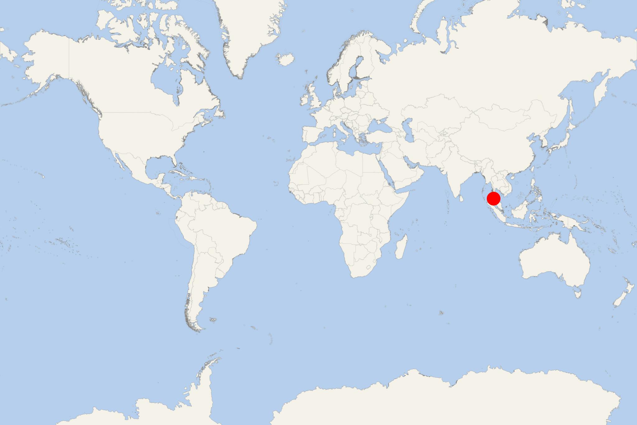
Koh Lanta Island (Koh Lanta Yai and Koh Lanta Noi) is located in the Andaman Sea, between Phi Phi Islands and off mainland Thailand's west coast. The island has land area of approx 81 km2 (31 ml2) and population around 11,000.
Ko Lanta is part of Krabi Province, most of which is on mainland Thailand. The two islands (Lanta Noi and Lanta Yai) forming the Ko Lanta Archipelago, together with several other smaller neighboring islands,
The island has length 25 km (16 mi) and width 6 km (3,7 mi). A small portion of it belongs to Mu Ko Lanta National Park, designated in 1990 as Thailand's 62nd national park.
As a vacation travel destination, Koh Lanta is less developed and most of the available accommodations are bamboo huts.
Since 2015, a new bridge has connected Koh Lanta Yai with Ko Lanta Noi. Koh Lanta Yai has paved roads (mostly in the north) as the southern roads deteriorate gradually.
Ban Saladan (Island's main port town) It is at the northern tip and is served by ferries from Phuket, Phi Phi, and Krabi. Main beaches are on the island's western coast, the largest of which are Pra-Ae, Klong Khong and Klong Dao. Less accessible beaches are at the southern coast.
In 2004, Lanta Island escaped the worst of the Indian Ocean earthquake. Though along the west coast there was widespread devastation, significantly fewer fatalities and injuries were reported in comparison to Phi Phi Islands. Most tourism-related businesses were up and running within several days after the earthquake.
Koh Lanta Island Thailand cruise terminal
Cruise ships to Koh Lanta Island dock (anchor) at Ban Sala Dan, located on the island's northern tip.
- Accidents

La Belle des Oceans Runs Aground Off Phi Phi Island
A cruise ship carrying at least 80 travelers ran aground in the early hours of Monday morning, November 25, off Phi Phi Island (Thailand), thus...
November 25, 2019 - show more news

 80°F
80°F 
 Mod. breeze