Santa Catalina Island CA (Avalon, California)
Cruise Port schedule, live map, terminals, news
Region
West Coast USA and Canada
Local Time
2025-12-25 05:55
 62°F
62°F 16.9°C

 Mod. breeze
5.8 m/s
 63 °F / 18 °C
 62 °F / 17 °C
Port Santa Catalina Island CA cruise ship schedule shows timetable calendars of all arrival and departure dates by month. The port's schedule lists all ships (in links) with cruises going to or leaving from Santa Catalina Island CA, Avalon, California. To see the full itineraries (ports of call dates and arrival / departure times) and their lowest rates – just follow the corresponding ship-link.
| Day | Ship | Arrival | Departure |
|---|---|---|---|
| 31 December, 2024 Tuesday | 08:00 | 17:00 |
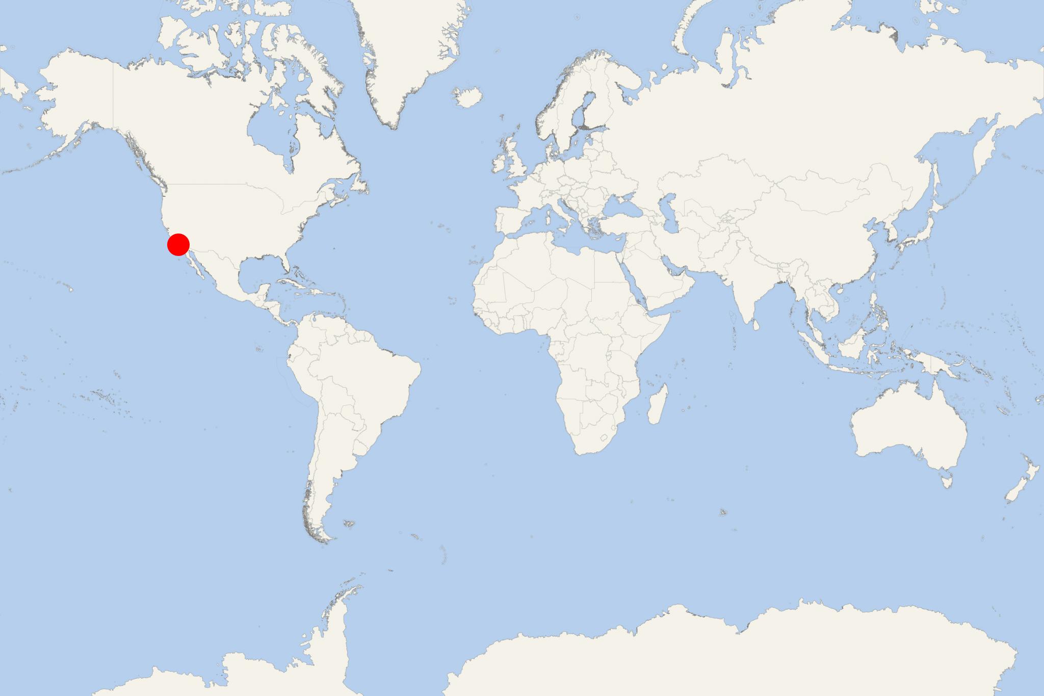
Santa Catalina Island (aka Catalina Island) is located off California's coast (USA) in the Gulf of Santa Catalina (Pacific Ocean). The island has length of 35 km (22 mi) and max width of 13 km (8 mi). It is located approx 35 km (22 mi) southwest of Los Angeles. Its highest elevation point (Mt Orizaba) is 639 m (2097 ft). Catalina Island is part of Channel Islands (Californian archipelago of 8 islands).
The island's only town is Avalon - located on the southeastern coast.
Originally, Catalina was settled by Native Americans who named the island Pimu (Pimugna). The first Europeans on Catalina were the Spanish, but over the years, territorial claims were transferred to Mexico and later to USA. The island was developed as tousit destination in the early 1920s by William Wrigley Jr (1861-1832, chewing gum industrialist.
Of Catalina's total population (around 4,000), nearly 90% live in Avalon (island's only city). Online searching for "Isla Catalina" often results in finding three Catalina-named islands - the namesakes Isla Catalina (Baja Mexico), Isla Catalina (Dominican Republic) and the island Santa Catalina (California USA).
Santa Catalina Island CA cruise terminal
Cruise ships to Santa Catalina Island California anchor at sea near Avalon - port town on the southeastern coast. Between the anchored ship and the port (Green Pleasure Pier), passengers are transported via the ship's tender boats.
- Cruise Industry
Puerto Vallarta joins 2026 itinerary for Virgin Voyages' newest ship Brilliant Lady
Virgin Voyages has announced that its newest ship - Brilliant Lady, will include Puerto Vallarta (Mexico) in her West Coast USA itinerary, debuting...
June 25, 2024 - Cruise Industry
CCL-Carnival adding new West Coast cruise to kick off Firenze’s debut in Long Beach CA
CCL-Carnival Cruise Line is expanding its offerings on the West Coast, introducing a new cruise to mark the debut of Carnival Firenze in Long Beach...
November 9, 2023 - Cruise Industry
CCL-Carnival opens new deployment from Long Beach CA
CCL-Carnival Cruise Line, maintaining its position as a leader in West Coast cruising, has opened bookings for future sailings departing from Long...
October 6, 2023 - Cruise Industry
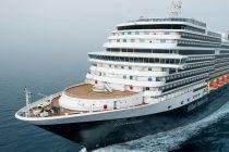
HAL-Holland America introduces 2023-2024 West Coast USA cruises
San Diego (California USA) has been a West Coast homeport for HAL-Holland America since the 1990s. Season 2023-2024 is highlighted by two solar...
January 20, 2023 - Cruise Industry
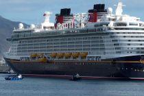
DCL-Disney Cruise Line offers new Holiday Fun itineraries in Fall 2023
DCL-Disney Cruise Line announced new and enchanting fall vacations that will take families coast-to-coast in 2023, including special voyages with...
August 7, 2022 - Cruise Industry
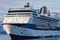
Celebrity Cruises launches new 2022 Fall voyages from ports on USA's both coasts
Celebrity Cruises is setting sail on a series of new journeys through both the Caribbean and the Mexican Riviera beginning in fall 2022. Celebrity...
April 19, 2022 - Cruise Industry
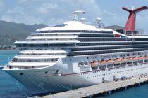
CCL-Carnival Cruise Line christens its newest ship Carnival Radiance in Long Beach CA
CCL-Carnival Cruise Line christened its newest liner Carnival Radiance last night (December 12) in an official naming ceremony in Los Angeles (Long...
December 13, 2021 - Cruise Industry
Royal Caribbean's ship Navigator of the Seas homeported in Los Angeles (California) for the first...
RCI-Royal Caribbean International is back in California after over a decade. Navigator of the Seas departed from San Pedro's World Cruise Center...
November 23, 2021 - Cruise Industry

Shaquille O’Neal's mother to serve as Godmother to the transformed Carnival Radiance
Dr. Lucille O’Neal – philanthropist, author, and mother of CCL-Carnival Cruise Line’s "Chief Fun Officer" Shaquille O’Neal...
November 16, 2021 - Cruise Industry
Santa Barbara CA suspending cruise ship calls until March 2022
Santa Barbara California announced its continued suspension of cruise ship calls on Monday, August 30. According to Waterfront Director Mike...
September 1, 2021 - show more news
