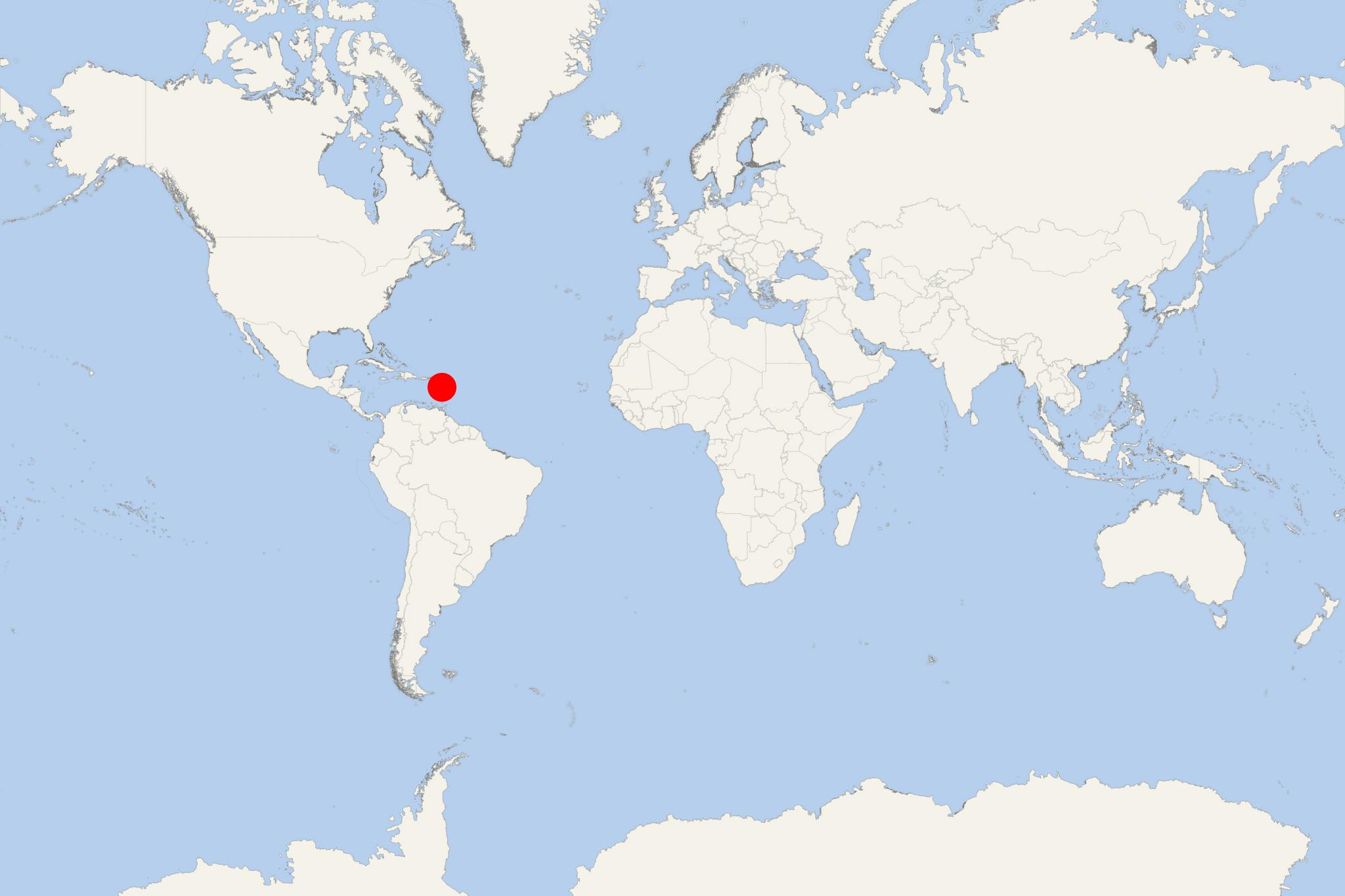
Terre-de-Haut Island (Guadeloupe)
Cruise Port schedule, live map, terminals, news
Region
Bahamas - Caribbean - Bermuda
Local Time
2026-01-27 16:44
 79°F
79°F 26°C

 Mod. breeze
7.5 m/s
 79 °F / 27 °C
 76 °F / 25 °C
Terre-de-Haut Island (port locode GPLSS), fka Petite Martinique, is the easternmost island in the Les Saintes archipelago of Guadeloupe (one of France's overseas territories) in the Lesser Antilles (Caribbean). The archipelago consists of Terre-de-Haut Island, Terre-de-Bas Island, plus 7 smaller-sized uninhabited isles. Les Saintes is located to the southwest of mainland Guadeloupe (Grande-Terre Island) where is country's capital city Basse-Terre.
Les Saintes' both inhabited islands (Terre-de-Haut and Terre-de-Bas) are separated by a narrow (890-m / 2900-ft wide) channel. Terre-de-Haut has land area approx 5 km2 (2 mi2), highest elevation point (Chameau hill) 306 m (1000 ft) and population around 2,000.
The distance between the islands Terre-de-Haut and Grande-Terre is approx 48 km (30 mi).
As a cruise port, Terre-de-Haut was included in the inaugural cruise schedules (for 2020) of 2 newbuild luxury ships - Hanseatic Inspiration (planned for May 7) and Ritz-Carlton Evrima (planned for February 13).
Terre-de-Haut Island cruise terminal
Cruise ships to Terre-de-Haut Island anchor at sea (in the bay) and transport/ferry their passengers to port's docking pier via ship's tender boats.
- Cruise Industry

Ritz-Carlton unveils 2024-2025 winter Caribbean cruises for the ships Evrima and Ilma
On August 15th, 2023, The Ritz-Carlton Yacht Collection made an announcement regarding its highly anticipated 2024-2025 winter Caribbean schedule for...
August 18, 2023 - show more news
