Austral Islands (French Polynesia)
Cruise Port schedule, live map, terminals, news
Region
Australia - New Zealand - Pacific Ocean Islands
Local Time
2026-02-07 15:10
 78°F
78°F 25.4°C

 Light breeze
1.9 m/s
 78 °F / 26 °C
 76 °F / 25 °C
Port Austral Islands cruise ship schedule shows timetable calendars of all arrival and departure dates by month. The port's schedule lists all ships (in links) with cruises going to or leaving from Austral Islands, French Polynesia. To see the full itineraries (ports of call dates and arrival / departure times) and their lowest rates – just follow the corresponding ship-link.
| Day | Ship | Arrival | Departure |
|---|---|---|---|
| 10 March, 2026 Tuesday |
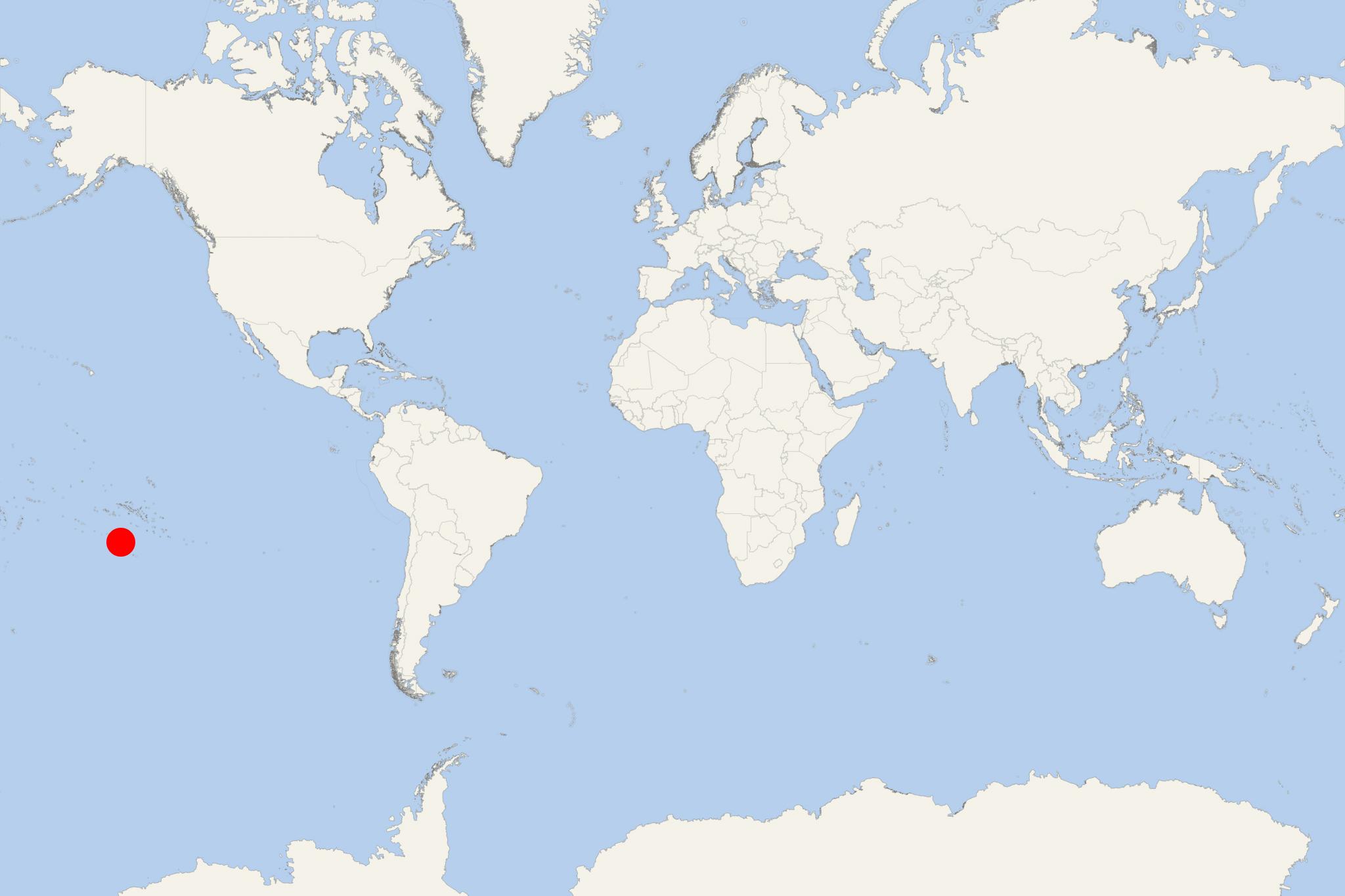
Austral Islands (Iles Australes) are French Polynesia's southernmost archipelago that groups the islands Maria (Hull Island), Rimatara, Rurutu, Tubuai/Tupuai, Raivavae, also the Bass Islands group (Rapa Iti, Marotiri) plus several uninhabited off-coast islets. The Australs have total land area approx 152 km2 (59 mi2) and total population around 7,000.
French Polynesia is one of France's overseas territories/collectivities. The Australes' capital is Tubuai.
Austral Islands are accessed mainly by regularly scheduled boats and via light airplanes from Papeete Tahiti Island (Faa'a Airport/Tahiti Airport). Four islands (Rurutu, Tubuai, Raivavae, Rimatara) have their own airports/airfields.
- Rimatara Island (land area 8,6 km2 / 3,3 mi2, population around 900) is approx 550 km (340 mi) south of Tahiti and approx 150 km (93 mi) west of Rurutu.
- Tubuai Island (land area 42 km2 / 16,2 mi2, population around 2200) is approx 640 km (400 mi) south of Tahiti. Tubuai is ringed by an encircling coral reef-formed lagoon, with a reef break (shipping channel) on the island's northern side.
- Rurutu Island (land area 32,7 km2 / 12,6 mi2, population around 2500) is approx 572 km (355 mi) south of Tahiti.
- Raivavae Island (land area 17,9 km2 / 6,9 mi2, population around 900) is approx 710 km (440 mi) south of Tahiti.
- Rapa Island/Rapa Iti (Bass Islands) has land area 40,5 km2 (15,6 mi2) and population around 500.
- Marotiri (aka Bass Rocks) is a group of 4x uninhabited above-sea rocks (plus several submerged).
- Iles Maria (aka Hull Island) is an uninhabited atoll located approx 205 km (127 mi) from Rimatara.
The Australs' economy is based mainly on subsistence agriculture (vegetables, yams, taro, fruits), livestock farming (chickens, pigs), and fishing. Export products (mainly for Tahiti) include copra (dried coconut kernels), coffee, vanilla. The tourism industry is rather underdeveloped due to the lack of proper infrastructure and facilities.
The islands were discovered by the Europeans in the late-18th-century. The British Captain James Cook discovered Rurutu Island in 1769 and Tubuai island in 1777. The Spanish Captain Tomas de Gayangos discovered Raivavae Island in 1775 (en route to Tahiti). The British Captain George Vancouver discovered Rapa Island in 1791. The British Captain George Bass discovered Marotiri Island in 1800. The British trader Samuel Pinder Henry discovered Rimatara Island in 1811.
- Cruise Industry

Ponant deploys two cruise ships in French Polynesia in 2026–2027
Ponant Explorations Group is set to expand its presence in French Polynesia beginning with the 2026–2027 winter season through the deployment...
January 19, 2026 - Cruise Industry

Aranoa joins Aranui fleet to expand French Polynesia cargo-passenger cruises
Aranui Cruises will introduce its second passenger-freighter vessel, Aranoa, in 2027. The new ship will join the fleetmate Aranui 5 to enable year...
September 21, 2025 - Cruise Industry

Ponant schedules French Polynesia itineraries (2026-2027) for Le Jacques Cartier ship
Ponant Explorations Group will introduce winter voyages aboard Le Jacques Cartier in French Polynesia for the 2026–2027 season, complementing...
July 17, 2025 - Cruise Industry

Aranui 5 opens Australian bookings with 20% off Austral Islands voyages
The hybrid cargo-and-passenger vessel Aranui 5 is poised to open the secluded Austral Islands to voyagers seeking an authentic French Polynesian...
July 7, 2025 - Cruise Industry

Aranui Cruises introduces 'Tiki Club' Loyalty Program to celebrate 40th Anniversary
Aranui Cruises/fleet, renowned for its unique cargo cruise ship Aranui 5, has unveiled its new loyalty program, the 'Tiki Club,' as a gesture of...
April 21, 2024 - Cruise Industry

Aranui Cruises' 2024 program includes return to Bora Bora
The French Polynesian company Aranui Cruises (fleet) released its 2024 program which includes a return to Bora Bora Island (Society Islands) along...
November 14, 2022 - show more news
