

Burnie (Tasmania Australia)
Cruise Port schedule, live map, terminals, news
Region
Australia - New Zealand - Pacific Ocean Islands
Local Time
2026-09-23 23:49
 47°F
47°F 8.4°C
 Light breeze
1.8 m/s
 60 °F / 16 °C
 42 °F / 6 °C
Port Burnie cruise ship schedule shows timetable calendars of all arrival and departure dates by month. The port's schedule lists all ships (in links) with cruises going to or leaving from Burnie, Tasmania Australia. To see the full itineraries (ports of call dates and arrival / departure times) and their lowest rates – just follow the corresponding ship-link.
| Day | Ship | Arrival | Departure |
|---|---|---|---|
| 4 March, 2026 Wednesday |  Coral Princess Coral Princess | 09:00 | 16:00 |
| 19 March, 2026 Thursday |  Oceania Riviera Oceania Riviera | 07:00 | 15:00 |
| 27 March, 2026 Friday |  Viking Orion Viking Orion | ||
| 31 March, 2026 Tuesday |  Norwegian Spirit Norwegian Spirit | 11:00 | 18:00 |
Burnie is a port city on Tasmania Island (Australia). It includes the city and its surrounding areas, although it doesn't include Somerset (a town usually classed as part of the metro area). The city has population around 30,000. Burnie and Devonport are northwestern Tasmania's largest seaports.
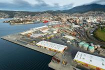
Port Burnie is the island's largest cargo port and also one of Australia's largest container ports. It is the nearest port to Melbourne Victoria (mainland Australia). The port is operated by the state-owned port authority company TasPorts. The port's main business is containerized cargoes, but also has a separate woodchip terminal.
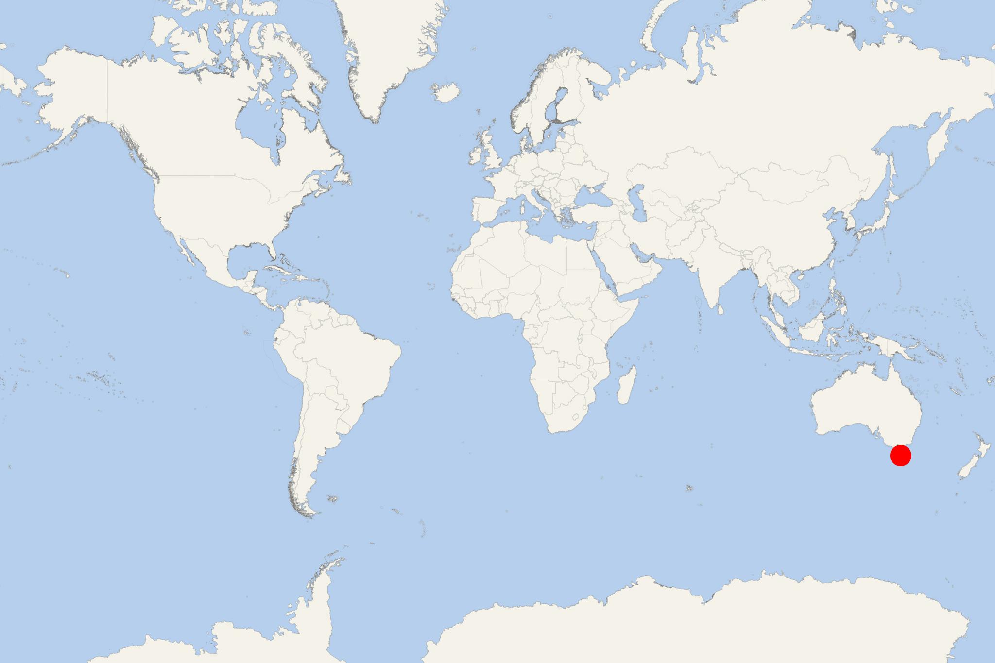
Burnie is located on Emu Bay, at the mouth of Emu River on Tasmania Island's northern coast. The settlement was established in 1829 (as "Emu Bay Settlement") and in 1866 received its town status. Burnie is served by Sydney-Tasmania ferry and is also the commercial centre for northwestern Tasmania. Close by is Cradle Mountain-Lake St Clair National Park, which incorporates Cradle Mountain with its lava peak rising to 1545 m (5069 ft).
The city's economy is based mainly on heavy manufacturing, forestry and farming industries, with Port Burnie being among its main sources of revenue. Since its opening in 1897, the Emu Bay Railway and the seaport are the most important means of transportation in the island's northwestern part.
Forestry was a major factor for the city's development in the 20th century. In 1938 was built a pulp and paper mill, followed by the construction of a woodchip terminal. The paper mill was closed in 2010.
As transportation, the city is served by Burnie Airport (located in Wynyard Town, approx 20-minute drive distance from Burnie). The 4-lane Bass Highway and a railway link the city with Devonport (northern Tasmania). Murchison Highway links the city with the island's western part. Metro Tasmania is the inner city bus service, also providing transportation to the suburbs., Redline Coaches offers daily bus services to nearby towns and Hobart.
Burnie cruise port statistics
During season 2016-2017, Tasmania ports served a total of 236,794 cruise ship tourists, which was a 45% increase over season 2015-2016. TasPorts handled a total of 95 cruise ship calls, including 22 in Port Arthur, 17 in Burnie, 6 in Wineglass Bay (located near Hobart, ranked among the world's top 10 beaches) and 1 at Flinders Island (in Bass Strait, located to the northeast of Tasmania).
For season 2018-2019, a total of 125 cruise liner calls were scheduled at ports Hobart and Burnie, another 29 in Port Arthur, and 6 to anchor off the island's east coast (Wineglass Bay / Freycinet National Park).
Following the COVID crisis, for season 2022-2023, Port Burnie had booked/scheduled a total of 33 cruise ship calls (out of Tasmania's total 148). TasPorts' cruise schedule displayed 78x visits for Hobart, 33x for Burnie, 23x for Port Arthur, 6x for Bell Bay, 6x for Coles Bay, 2x for Devonport.
Burnie cruise terminal
Port Burnie (Australia) is unique with its "greet & meet" volunteer program. The port also issues a newspaper specifically made for cruise ship passengers and crew.
Burnie Port provides free of charge bus shuttle transportation. This dedicated to arriving ships bus line transfers passengers from the cruise terminal to the Visitors Center (Little Alexander Street) or to the city center (Main Street). The port's shuttle bus service is the only way to both exit and enter the ship docking quay.
Burnie is a working cargo port and passengers cannot normally walk through the dock area. Complimentary shuttle buses connect the ship with central Burnie, where the waterfront, shops, museum, public art and coastal paths are easy to explore independently. Attractions outside the city require a taxi, rental car or tour.
At a Glance
- Port access: Ships normally dock rather than tender, but passengers must use the port shuttle to leave and re-enter the restricted wharf.
- Distance to the city: Approximately 2 km (1.2 mi).
- Independent sightseeing: Easy within central Burnie; transport and advance planning are needed for regional attractions.
- Main shuttle stops: The Discover Burnie Hub at Marine Plaza and the waterfront. Confirm the current stops and final return time after arrival.
- Best for: Coastal walking, local history, gardens, waterfalls and nature excursions.
Getting from the Cruise Port
The complimentary shuttle is the normal way to travel between the ship and central Burnie. The Discover Burnie Hub operates on cruise days with visitor information and, typically, local craft stalls. The CBD, West Beach and waterfront are close to the shuttle stops.
Taxis are available in limited numbers and are best arranged in advance. Rideshare availability may also be limited. Local buses connect Burnie with towns such as Penguin, Ulverstone and Wynyard, but passengers should check the current timetable carefully before relying on them for a port call.
Best Ways to Spend Your Time
Explore Central Burnie and the Waterfront
Allow 2–3 hours. This is the simplest independent option. Browse the cruise-day market, walk through the compact CBD and follow the waterfront toward West Beach. Burnie Regional Museum’s recreated Federation Street is a useful stop when open, while the nearby arts centre hosts changing exhibitions and events.
Burnie Park and Oldaker Falls
Allow 2–3 hours return from central Burnie. Follow the coastal path west from the waterfront to Burnie Park, then take the short path through the landscaped grounds to Oldaker Falls. The route is generally easy, although the park section includes gentle slopes and can be damp after rain.
Emu Valley Rhododendron Garden
Allow 2–3 hours including transport. Located about 8 km (5.0 mi) south of Burnie, this large woodland garden has lakes, bridges, unpaved paths and extensive seasonal planting. Flowering is usually strongest from late winter into summer, but the grounds remain attractive in other seasons. A taxi, pre-arranged transfer or local sightseeing tour is the practical choice.
Fernglade Reserve and Guide Falls
Allow 3–4 hours. Fernglade Reserve offers a short riverside nature walk and a chance, never a guarantee, of seeing a platypus. Guide Falls is farther inland and is commonly combined with Fernglade, the rhododendron garden or a scenic drive. These places are not practical to reach on foot from the port, so use a tour or pre-arranged vehicle.
Cradle Mountain or Northwest Tasmania
Allow most of the port call. Cradle Mountain is roughly 60–90 minutes from Burnie in each direction before allowing for traffic, weather and park transport. Stanley, Sheffield, wildlife parks and food-producing areas are other possible regional destinations. An organized shore excursion is recommended because travel consumes a substantial part of the day and public transport is unsuitable for a cruise visit.
Self-Guided Walking Tours
Easy Waterfront and City Walk
Distance: Approximately 3 km (1.9 mi) return
Walking time: About 45 minutes without stops
Recommended time: 2–3 hours
Difficulty: Easy and mostly level
- Begin at the Discover Burnie Hub or waterfront shuttle stop.
- Browse the cruise-day market and visitor displays.
- Walk through the central shopping streets and public-art areas.
- Visit Burnie Regional Museum and its recreated Federation Street if open.
- Continue to the waterfront and West Beach.
- Stop at the Little Penguin Observation Centre before returning along the coast.
Little penguins normally come ashore after dark, often outside cruise-call hours. During the day, the centre and boardwalk are principally an interpretive stop rather than a wildlife-viewing opportunity.
Coastal Walk to Burnie Park and Oldaker Falls
Distance: Approximately 5 km (3.1 mi) return from the central shuttle area
Walking time: About 75–90 minutes without stops
Recommended time: 2.5–3.5 hours
Difficulty: Easy to moderate, with gentle slopes and park paths
- Start at the waterfront shuttle stop.
- Follow the coastal path past West Beach.
- Pass the Little Penguin Observation Centre.
- Continue west to Burnie Park.
- Follow signs through the park to Oldaker Falls.
- Return by the same coastal route to the shuttle stop.
Wear shoes suitable for potentially wet paths and allow additional time for photographs or a café stop. The route can be shortened by turning back at West Beach.
Practical Tips
- Check the final port-shuttle departure as soon as you reach the city. Walking directly back to the ship through the working port is normally not an alternative.
- Allow a generous return margin for regional tours, particularly when visiting Cradle Mountain or traveling on rural roads.
- Burnie’s weather can change quickly. Carry a light waterproof layer even when the morning is clear.
- Confirm museum, gallery and garden opening times on the day, especially for weekend or public-holiday calls.
- Do not plan a daytime visit around seeing little penguins ashore; their return usually occurs after sunset.
Burnie hotels
- Cruise Industry
Princess Cruises 2026-2027 Australia-New Zealand ships and itineraries
Princess Cruises announced 2026-2027 fleet deployment for Australia, New Zealand, and the South Pacific. The program features diverse itineraries...
December 6, 2024 - Accidents
Oceania's Regatta and Regent's Seven Seas Explorer ships cancel scheduled calls to Port Burnie...
TasPorts announced that two international cruise ships scheduled to call at Port Burnie (Tasmania Australia) last week had bypassed/canceled their...
January 23, 2023 - Cruise Industry
NCL-Norwegian Cruise Line returns to Australia with Norwegian Spirit ship
NCL-Norwegian Cruise Line returned to sailing in Australian waters after 3 years on December 21st, 2022 when its Norwegian Spirit ship departed from...
December 23, 2022 - Cruise Industry
Tasmania to welcome the first cruise ships of season 2022-2023
TasPorts (Tasmania) will soon welcome its first cruise ships for 2022-2023 season, with P&O Australia's Pacific Explorer (scheduled to visit Port...
October 1, 2022 - Cruise Industry
Tasmanian ports to welcome ~150 cruise ship calls during season 2022-2023
Ports across Tasmania are getting ready to welcome ~150 cruise ship calls during the upcoming 2022-2023 season. Plans for the cruise season started...
August 2, 2022 - Cruise Industry
Virgin Voyages’ ship Resilient Lady setting sail to Australia & New Zealand starting in 2023
Virgin Voyages is setting sail to Australia & New Zealand, starting in 2023. The newest ship in Virgin Voyages’ 4-ship fleet, Resilient...
April 27, 2022 - Accidents
Tasmania (Australia) extends cruise ship ban to February 17, 2022
A record 32 cruise ships called at Port Burnie (Tasmania Australia) in the 2019-2020 season before the ban was imposed due to the COVID crisis...
December 12, 2021 - Cruise Industry
Princess Cruises 2022-2023 Australia and New Zealand ships and itineraries
Princess Cruises announced its 2022-2023 Australia and New Zealand season, going on sale on March 2, 2021. The itinerary program is based on 4 ships...
February 21, 2021 - Cruise Industry
Princess Cruises announces new itineraries for the upcoming Australia & New Zealand 2021-2022 season
Princess Cruises announced destination-rich itineraries for the line’s upcoming Australia & New Zealand 2021-2022 season, on sale from...
September 11, 2020 - Accidents
Princess Cruises Ship Delayed Due to Technical Issues
A Princess Cruises ship arrived around 2 hours late in Burnie Tasmania on Friday, January 17 due to technical issues. The departure of Sun Princess...
January 18, 2020 - show more news