

Caleta Tortel (Chile Patagonia)
Cruise Port schedule, live map, terminals, news
Region
South America
Local Time
2026-10-03 14:58
 49°F
49°F 9.7°C

 Very Light
0.6 m/s
 52 °F / 12 °C
 38 °F / 4 °C
Port Caleta Tortel cruise ship schedule shows timetable calendars of all arrival and departure dates by month. The port's schedule lists all ships (in links) with cruises going to or leaving from Caleta Tortel, Chile Patagonia. To see the full itineraries (ports of call dates and arrival / departure times) and their lowest rates – just follow the corresponding ship-link.
| Day | Ship | Arrival | Departure |
|---|---|---|---|
| 22 October, 2026 Thursday |  MS Fridtjof Nansen MS Fridtjof Nansen |
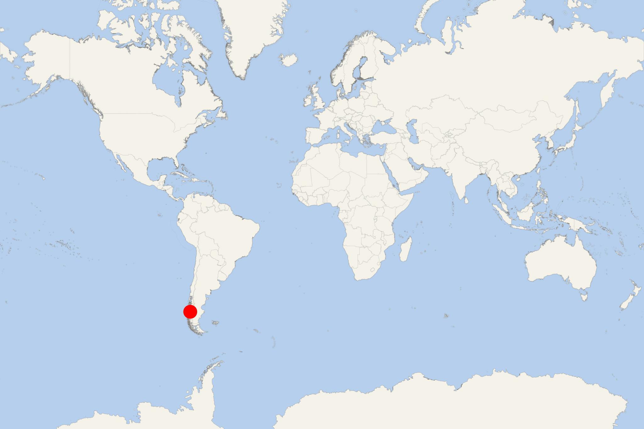
Caleta Tortel is a small town in Chilean Patagonia (Capitan Prat Province's Aysen Region), located between Baker River's mouth and Baker Channel (aka Calen Inlet). Like the entire Southern Patagonian Ice Field, Tortel's scenery is marked by rugged mountains, beautiful fjords, winding channels, large river estuaries.
Caleta Tortel is one the gateways/departure ports to Bernardo O'Higgins National Park - together with Puerto Natales, Puerto Eden and Villa O'Higgins. Tourists can access the Bernardo O'Higgins NP only by sea and air (via cruise ships/tour boats or helicopters/seaplanes).
Caleta Tortel (population around 500) was established in 1955 to serve the region's lumber industry (Guaytecas Cypress logging and timber trade), which continues to be the region's main business. Tourism activities include boat tours mainly to Jorge Montt Glacier (to the south of Caleta Tortel) as well as to other scenic locations in the area. Jorge Montt Glacier is part of the Bernardo O'Higgins National Park (Aysen and Magallanes regions) established in 1969 and covering total area approx 35260 km2 (13610 mi2).
Since its establishment, the town is accessible only via flights (Rio Bravo Airport) and ships. A 2003-opened road connects Caleta Tortel with Route 7 (Carretera Austral highway) that thru Patagonia and interlinks Puerto Montt (north) with Villa O'Higgins (south). Rio Bravo Airport is approx 36 km (22 mi) to the north.
Caleta Tortel's houses spread several kilometers along the coast. Instead of traditional streets, there are wooden walkways. There is a school (1-8 grade), a library (with free WiFi Internet), cellphone coverage, line telephone connections.
As cruise port, Caleta Tortel is included in the South America and Antarctica itinerary programs of top-luxury cruise line brands like Silversea Expeditions, Ponant, Hapag-Lloyd, RSSC-Regent Seven Seas.
Baker River has length 170 km (110 mi) but in terms of water volume is ranked Chile's largest (average discharge 870 m3 per second). The river originates from Bertrand Lake, runs along Northern Patagonian Ice Field's eastern side, and near Caleta Tortel empties into the Pacific Ocean. The river's delta is divided into two arms, of which navigable is only the northernmost one.
Bernardo O'Higgins is Chile's largest national park, with protected land area approx 3,526 million hectares (8,713M / 35259 km2 / 13614 mi2). The NP is part of Chile's Aysen Region and Magallanes Region/Chilean Antarctica.
Neighboring national parks are Los Glaciares (Argentina's Santa Cruz Province) and Torres del Paine (Chilean Patagonia) to the east, and the Chilean nature reserves Laguna San Rafael (to the north), Kawesqar (fka Alacalufes NP, to the southwest) and Katalalixar (northwest).
Bernardo O'Higgins NP is located between Baker Channel and Channel/Fjord of the Mountains (west of Puerto Natales). Its scenery is marked by narrow fjords (penetrating deeply into the mountains, the most visited by tourists is Ultima Esperanza Sound/Eberhard Fjord), glaciers (from the Southern Patagonian Ice Field, including Pio XI Glacier - the largest outside Antarctica), subpolar forests (mainly the tree species guindo, lenga beech, Antarctic beech, canelo/winter's bark). Wildlife includes the endangered South Andean deer (aka Southern Guemal/Chilean Huemul), Andean Condors, Marine Otters, Cormorants.
At a Glance
Independent with some planning. Caleta Tortel is a tiny, car-free Patagonian settlement where wooden boardwalks replace streets. Exploring the village independently is straightforward once ashore, but numerous stairs, steep slopes and potentially slippery timber make it unsuitable for passengers with limited mobility. Boat trips beyond the village require advance arrangements and suitable weather.
Getting Ashore
Visiting cruise ships generally remain in the fjord and transfer passengers ashore by tender or expedition boat. The precise landing point and access arrangements depend on the ship and conditions. From the waterfront, sightseeing begins immediately on the interconnected boardwalks; no shuttle or taxi is normally needed for the village itself.
Tender operations can be affected by wind and rain. Follow the ship’s announced final-tender time and allow additional time for the return queue.
Best Ways to Spend Your Time
Explore the Waterfront Boardwalks
The main attraction is the settlement itself. Walk past cypress-shingled houses, small docks, fishing boats and forested slopes while looking across the fjord. The complete network extends for more than 7 km (4.3 mi), but there is no need to cover all of it. A relaxed central walk with photographs and a café or craft stop takes about 1.5–2.5 hours.
Climb to a Viewpoint
Boardwalk stairs rise from the waterfront to viewpoints over Tortel Bay, the Baker River mouth and surrounding channels. This is practical independently for reasonably fit visitors, but expect sustained climbing and wet, uneven steps. Allow roughly 1.5–2.5 hours for a viewpoint walk, depending on the route and landing location.
Take a Boat Trip to Isla de los Muertos
This small island near the Baker River mouth preserves wooden crosses connected with workers who died in the area in the early 1900s. The visit combines local history with fjord scenery and normally requires a prearranged local boat or ship excursion. It is more realistic during a medium or long call than arranging after arrival, as departures are limited and weather-dependent.
Glacier and Fjord Navigation
Long boat trips can reach the Jorge Montt or Steffen glacier areas, but these are full-day experiences rather than casual independent outings. Navigation commonly occupies about 7–8 hours and may be altered or cancelled because of wind, visibility or ice. Choose this only through the cruise line or a confirmed operator whose schedule fits the port call.
Self-Guided Boardwalk Route
Village and Hillside Circuit
Route: tender landing or designated waterfront access, central waterfront boardwalk, small local docks, civic center and church area, hillside stairways, an accessible viewpoint, then return to the landing by the lower boardwalk.
- Distance: approximately 3–4.5 km (1.9–2.8 mi), depending on the landing and chosen viewpoint
- Pure walking time: 1–1.5 hours
- Recommended total time: 2–3 hours with viewpoints and stops
- Difficulty: moderate
- Terrain: wooden walkways, many stairs, gradients and potentially slippery surfaces
Signs and branching walkways can make the route less obvious than a normal street circuit. Keep track of the route back, turn around early if conditions deteriorate and avoid committing to the complete heritage circuit unless the available shore time is generous.
Practical Tips
- Wear shoes with strong grip; rain can make wooden boards and stairs very slippery.
- Bring waterproof outerwear and dress in layers. Patagonian conditions can change quickly.
- The village has limited services, and some small businesses may not accept cards. Carry a modest amount of Chilean pesos.
- Mobile coverage and internet access can be unreliable.
- This is not a practical stop for wheelchairs, walkers or passengers unable to manage repeated stairs.
- Do not rely on finding a glacier or island tour after landing. Reserve any boat excursion in advance.
- Allow a generous return margin, particularly when tenders or small boats are involved.
Caleta Tortel hotels
- Accidents
1300 Quarantined On 2 Cruise Ships in Chile
Chile quarantined 1300+ people on 2 cruise ships after an elderly passenger aboard one of them tested positive for Coronavirus (COVID-19), the health...
March 16, 2020 - show more news