Clayton NY (New York)
Cruise Port schedule, live map, terminals, news
Region
Canada and USA Rivers
Local Time
2026-02-02 05:20
 -8°F
-8°F -22.2°C

 Light breeze
1.8 m/s
 18 °F / -7 °C
 -10 °F / -23 °C
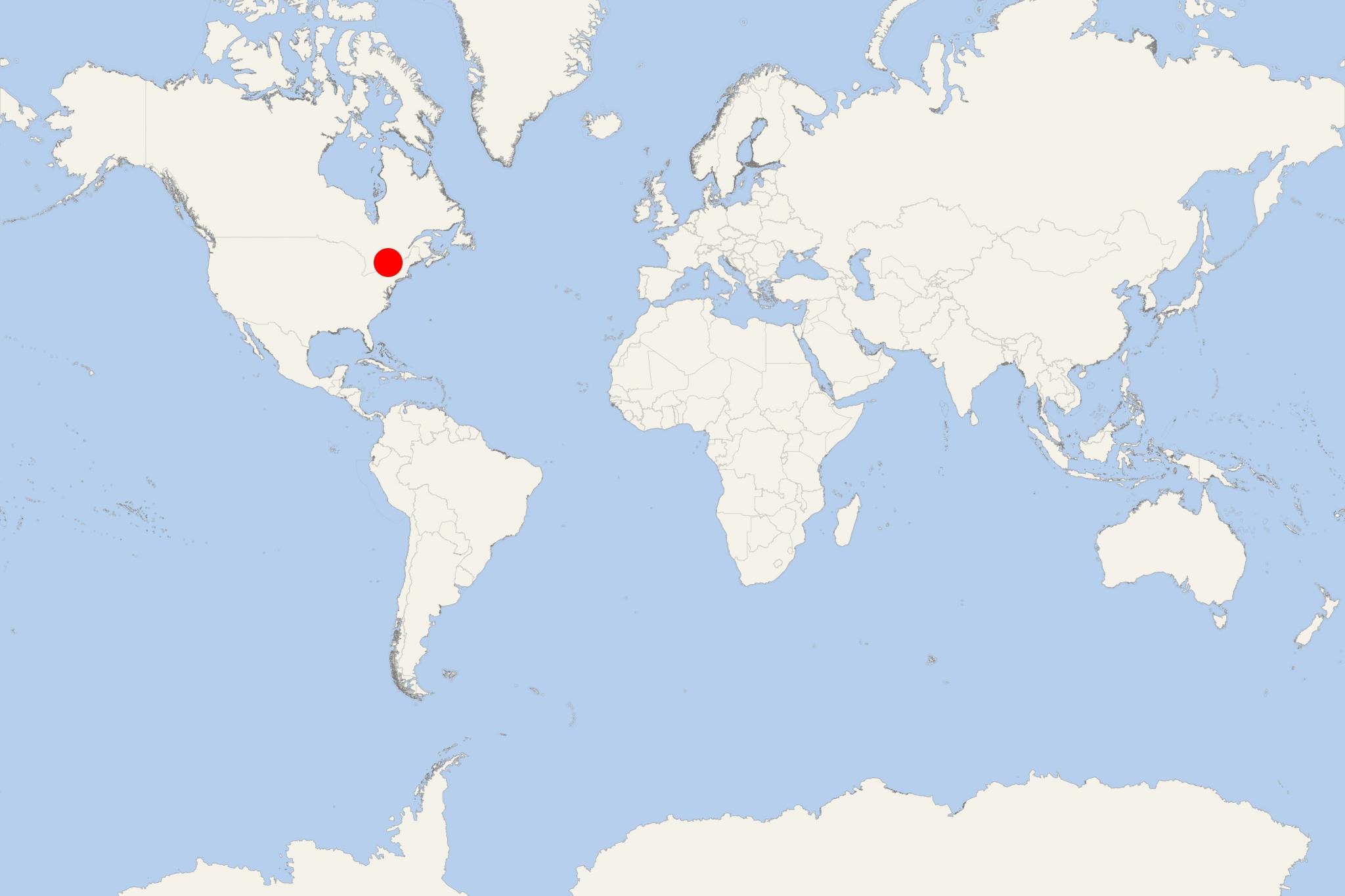
Clayton NY (port locode USCLY) is a town in Jefferson County (New York USA) with population around 5,000. The town also contains a same-named village - both are northwest of Watertown. Clayton is on St Lawrence River and close to Lake Ontario. Across the river is the Canadian province Ontario.
Clayton's northern border is the Canada–USA border running through the Thousand Islands along St Lawrence River. Clayton also includes one of the bigger Thousand Islands (Grindstone) along with smaller isles, such as Grenell, Bluff, Maple, Round Island, Picton Island.
The town is named after John Clayton (1796-1856), federal political leader from Delaware. Nearby Cape Vincent, Alexandria Bay and Clayton are popular tourist travel destinations on New York's mainland side of the Thousand Islands (resort region).
The area was first settled in 1801. The town was formed in 1833 by combining parts of Orleans and Lyme. In the early 20th century, Clayton became the main railroad terminus for the Thousand Islands region. Most of its hotels are non-existent today.
A regularly scheduled ferryboat used to connect Clayton with Gananoque (Canada). The service was discontinued after the opening in 1937 of the Thousand Islands Bridge (length 16 km / 10 mi). This is an international bridge over St Lawrence River that connects northern NY USA with southeastern Ontario Canada. The bridge also carries the Interstate 81 (I-81 highway) USA-Canada.
