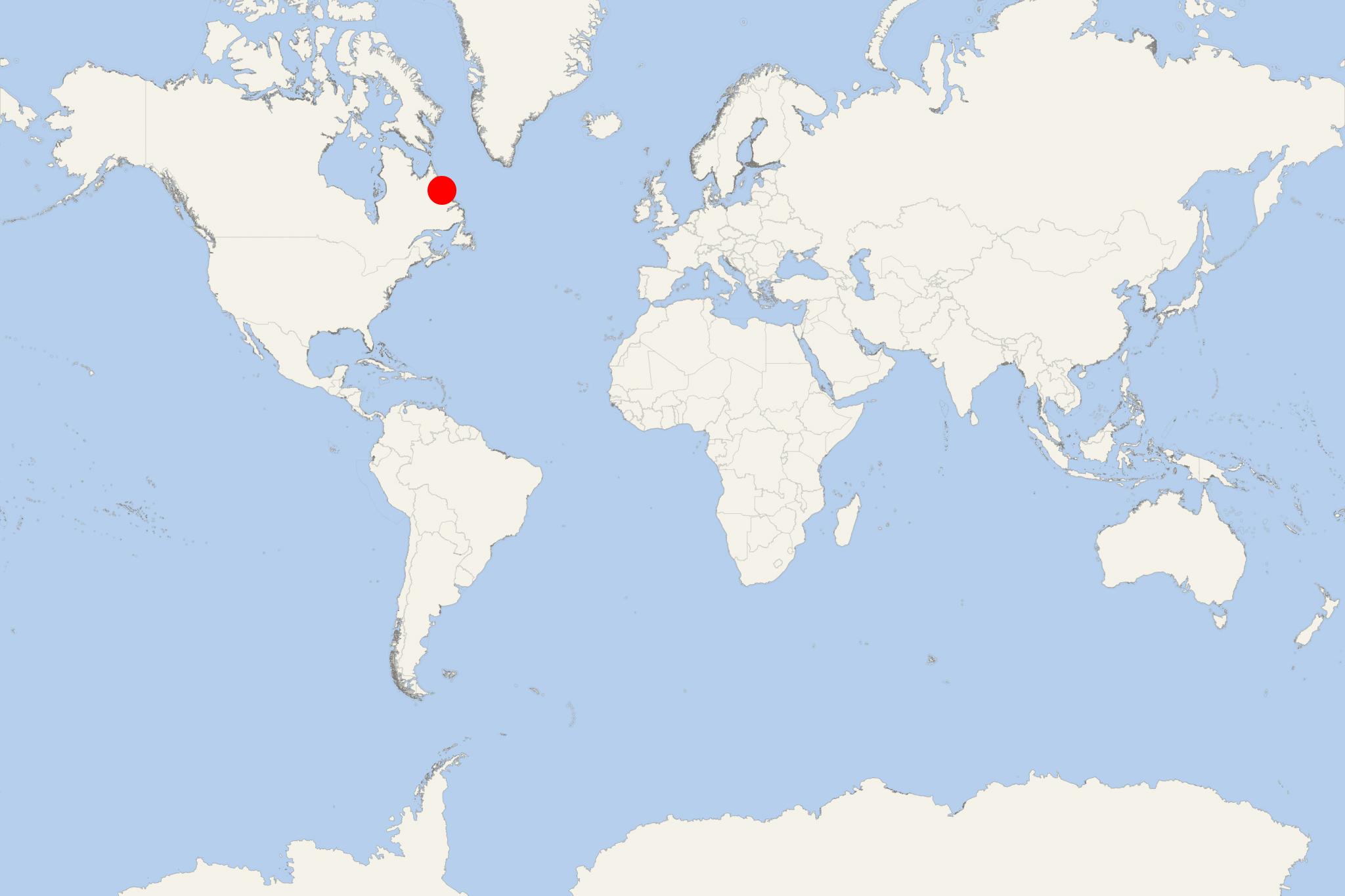
Nain NL (Newfoundland-Labrador Canada)
Cruise Port schedule, live map, terminals, news
Region
East Coast USA and Canada New England
Local Time
2026-01-30 21:18
 16°F
16°F -8.8°C

 Light breeze
3.3 m/s
 22 °F / -5 °C
 13 °F / -10 °C
Port Nain NL cruise ship schedule shows timetable calendars of all arrival and departure dates by month. The port's schedule lists all ships (in links) with cruises going to or leaving from Nain NL, Newfoundland-Labrador Canada. To see the full itineraries (ports of call dates and arrival / departure times) and their lowest rates – just follow the corresponding ship-link.
| Day | Ship | Arrival | Departure |
|---|---|---|---|
| 29 September, 2026 Tuesday | 09:00 | 17:00 |
Nain NL (Nunainguk) is a port town in Canada's Newfoundland and Labrador province, with population around 1,000 (almost all of whom are Inuit). Since 2005, the town is the administrative capital of Nunatsiavut (an autonomous Inuit Land Claims Area), while Hopedale (located approx 1090 mi / 1750 km to the south-southwest by air) is Nunatsiavut's legislative capital. Happy Valley-Goose Bay (Nunatsiavut's principal seaport and airport) is approx 370 km (230 mi) to the south by air.
The town can be accessed only by ships/boats and aircraft.
During summer, regularly scheduled weekly ferries (leaving roundtrip from Vali/Happy Valley-Goose Bay) interlink Rigolet, Makkovik, Postville, Hopedale, Natuashish, Nain (being the route's northernmost port). As cruise port, Nain is visited by smaller-sized (expedition type) ships and ice-strengthened superyachts.
Nain Airport serves regular flights (by PAL Airlines) connecting to CFB Goose Bay Airport (Canadian Forces Base), Hopedale, Makkovik, Natuashish, Postville, Rigolet, Voisey's Bay Mine. Flights to other Canadian airports are via CFB Goose Bay. Nain Airport can handle only small planes and helicopters.
In close proximity to Nain (off Labrador's mainland coast) are the islands Paul (the largest), Rhodes, Barth, Satosoak, Hillsbury.
The settlement was established in the late-18th-century with the Hebron Mission (by the Moravian Brethren/Church) founded in 1771.
