Sakhalin Island (Russia)
Cruise Port schedule, live map, terminals, news
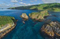
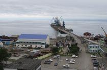
Sakhalin Island is Russia's largest island, with land area approx 72490 km2 (2790 mi2), length 948 km (589 mi), width 25-170 km (16-106 mi) and population around 0,5 million. Most visiting expedition cruise ships anchor in Piltun Lagoon (central-western coast). Larger-sized ships dock at Korsakov - port city on Aniva Gulf (island's southern end).
Russia's Sakhalin Oblast comprises the Sakhalin Island plus the Kurils/Kuril Islands.
To bear the island's name were honored two Russian icebreaking vessels - SCF Sakhalin (2005-built supply vessel) and NS Sakhalin (2030-built nuclear ship, in 2023 renamed NS Leningrad).
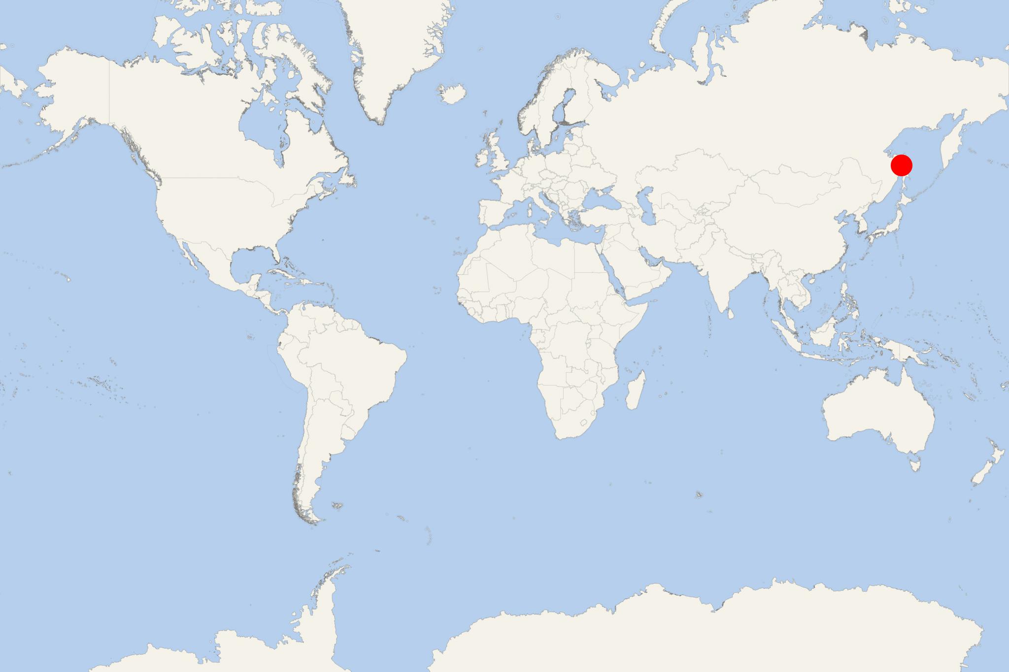
Island's largest settlement is Yuzhno-Sakhalinsk (population around 180,000). Its highest elevation point (Mt Lopatin) is 1610 m (5280 ft). The island is part of the Russian far East territories (North Pacific Ocean) and is located approx 43 km (27 mi) north of Hokkaido Island (Japan).
The island is served mainly by ships (cargo carriers and train ferries that carry wagons) that connect mainland Russia (Port Vanino) with Kholmsk crossing Tartary Strait. The shipped cargoes include mainly coal and timber and containerized goods. The Sakhalin Shipping Company (SASCO) was founded in 1945 (privatized in 1992) and headquartered in Kholmsk. SASCO serves the ferry routes linking Vladivostok with Korsakov, Magadan and Shanghai (China), Vanino with Kholmsk (since 1975), Magadan and Petropavlovsk-Kamchatsky, and also the route Korsakov-Pusan (Korea). The island's railway network extends from Nogliki (north) to Korsakov (south).
Sakhalin is also served by Yuzhno-Sakhalinsk Airport with regularly scheduled flights linking to Russia (Moscow, Vladivostok, Petropavlovsk-Kamchatsky, Khabarovsk, Irkutsk, Blagoveshchensk, Okha, Shakhtyorsk, Yuzhno-Kurilsk), Japan (Tokyo, Hakodate, Chitose) and Korea (Incheon, Busan, Seoul). Charter flights link to China (Shanghai, Dalian, Harbin).
Sakhalin's current-day economy is largely based on oil and gas (production and export), also coal mining, forestry, commercial fishing. In September 2019, Sovcomflot (SCF Group, Russia) and NYK Line (Japan) signed USD 176 million non-recourse loan for financing two icebreaking LNG carriers for the Sakhalin-2 project. The sisterships Grand Aniva (2008) and Grand Elena (2007) are jointly-owned and operated by SCF and NYK. They both transport LNG from homeport Prigorodnoye (Sakhalin Island) to Asian ports (Japan, South Korea, China). Regular gas shipments from Sakhalin-2 started in March 2009. For 10 years, these ships delivered 46,5+ million m3 of LNG via 325x Okhotsk Sea crossings.
From the mid-19th to the early-20th centuries, Sakhalin was often used for wailing (bowhead-, grey- and right whales) and whale oil production (obtained via boiling of the mammal's blubber). In the 19th-century, the oil was used in oil lamps and for making soap, in the 20th-century - for making margarine. Initially, the boiling was carried out on land as most whales were killed close to the shore or beached.
Sakhalin was initially a Russian Empire territory and occupied by the Japan Empire during the Russo-Japanese War (1904-1905). Following the war, the island was divided between Russia (north) and Japan (south). In 1925, the Japanese part was returned to the newly-formed Soviet Union (1922-1991). The island's scenery is marked by two large rivers - Tym (length 330 km / 205 mi) and Poronai (350 km / 220 mi). The island is separated from mainland-Russia by a narrow and shallow strait (Tartary), which in winter often freezes.
- Accidents

New Russian ferry damaged by ice floes off Sakhalin Island
A new Russian ferryboat sustained hull damage from ice floes off Sakhalin Island, leaving 60+ passengers and crew stranded as they awaited assistance...
March 23, 2024 - Accidents

127 Cruise Passengers Stranded in Ice off the Coast of Japan
A Russian ship carrying passengers from Kuril Islands in northern Pacific to the Sakhalin peninsula has been stranded in ice for days off Japan's...
February 8, 2018 - show more news

 13°F
13°F 
 Fresh breeze