Severnaya Zemlya (Arctic Russia)
Cruise Port schedule, live map, terminals, news
Region
Arctic - Antarctica
Local Time
2026-01-25 06:32
 -12°F
-12°F -24.6°C

 Light breeze
2.8 m/s
 -9 °F / -22 °C
 -16 °F / -26 °C
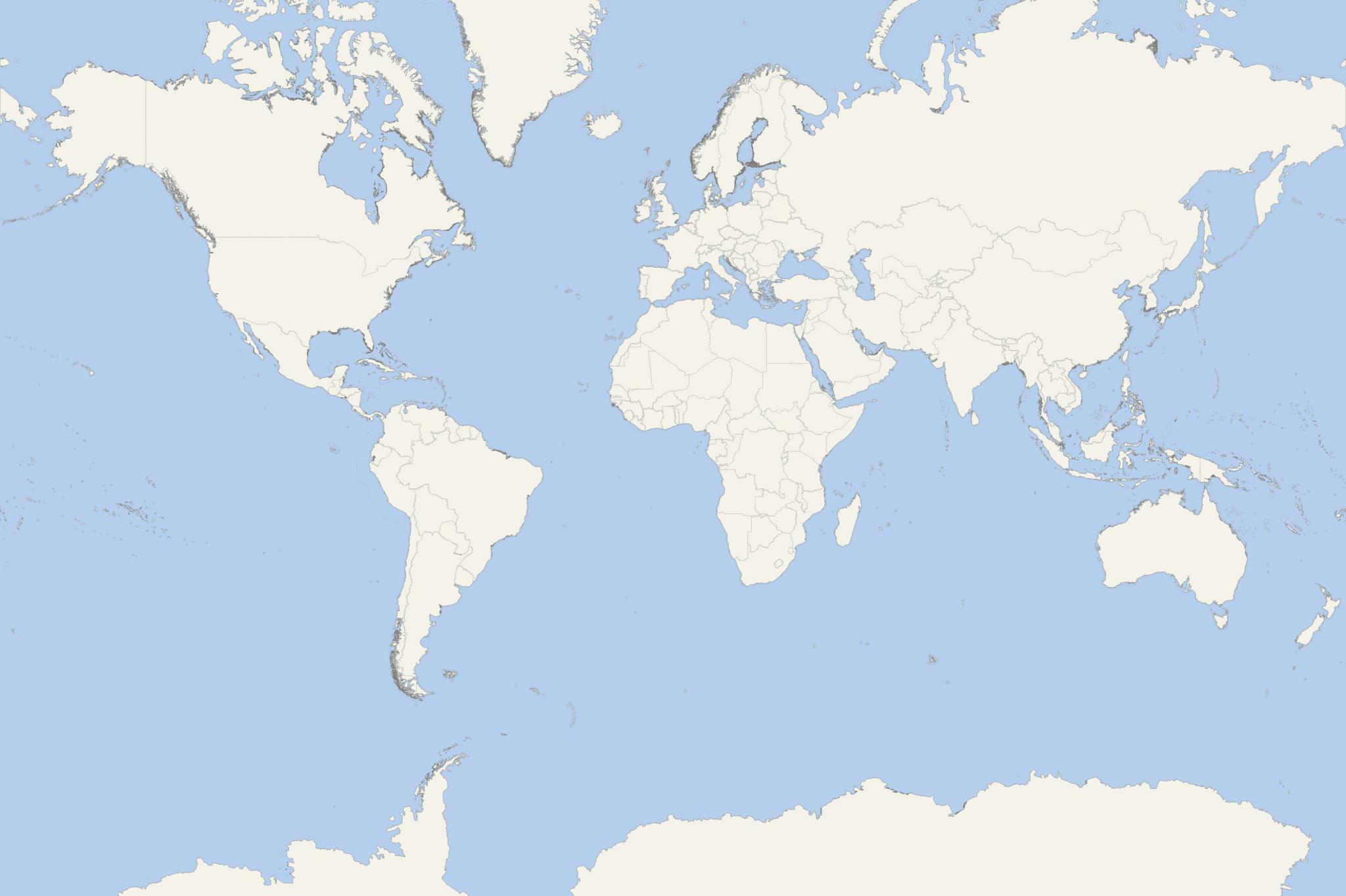
Severnaya Zemlya (translated "Northern Land") is a Russian Arctic archipelago with total land area approx 37000 km2 (14200 mi2) located off Taymyr Peninsula (mainland Siberia / Asia). The island group is separated from Siberia by Vilkitsky Strait. These islands separate two Arctic Ocean seas - Kara Sea (to the west) and Laptev Sea (to the east).
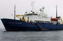
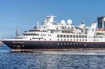
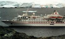
Cruises to Severnaya Zemlya are offered mainly on Russian icebreakers. Rarely, the region is visited also by smaller-sized expedition cruise ships. Such recent visits were scheduled on MS Bremen (departure 2018 August 11, 28-days itinerary from Tromso Norway to Vancouver Canada) and Silver Explorer (departure 2019 August 10, 26-days itinerary from Nome Alaska to Tromso Norway).
These isles were first reported in 1913-1915 (during the Arctic Ocean Hydrographic Expedition) and first charted in 1930-1932. They form part of Krasnoyarsk Krai and are uninhabited (excepting one Russian Arctic base). Arctic Ocean Hydrographic Expedition was organized with two 1909-built icebreaker steamships - Taymyr and Vaygach. On September 3, 1913, the expedition raised the Russian flag at Berg Cape (October Revolution Island). This new territory was first named Emperor Nicholas II Land (honoring Nicholas II of Russia, 1868-1918), but was renamed to Severnaya Zemlya in 1926. The 1930–1932 Arctic expedition showed 4 main islands (later named October Revolution, Bolshevik, Komsomolets, Pioneer), and also mapped the archipelago. In addition to these 4 main isles, there are around 70 smaller ones.
Recently, pack ice connected Severnaya Zemlya to Eurasia thus blocking the Northeast Passage route (connecting the Atlantic Ocean with the Pacific Ocean). Severnaya Zemlya is an Arctic desert with little vegetation and at least 50 cm (20 inches) thick permafrost. The island group is the easternmost breeding site of little auks (dovekie). Here were observed 32 bird species, 17 of which breed here. There are 5 colonial seabird species - little auks, black-legged kittiwakes, black guillemots, ivory gulls, and glaucous gulls. There are 3 tundra (shorebird) bird species - snow bunting (snowflake), purple sandpiper, and Brant goose.
Severnaya Zemlya's most common mammal is the collared lemming (Arctic lemming) present on all large islands. Fauna is also presented by Arctic foxes, wolves, stoats (short-tailed weasel), Arctic hare (polar rabbit) and also reindeer.
October Revolution Island
October Revolution Island is the largest in Severnaya Zemlya, with estimated land area 14,170 km2 (5470 mi2) ranking it the world's 59th largest island. Its highest elevation point is Mount Karpinsky (965 m / 3166 ft). Half of the island is glaciers covered. In the ice-free sections, the vegetation is desert or tundra. The Vavilov Meteorological Station here was operated in the period 1974-1988. The small-sized Ostrov Vysokiy Island is located in a bay on the southwestern shore.
Bolshevik Island
Bolshevik Island is the archipelago's southernmost and 2nd largest with an estimated area of 11,312 km2 (4370 mi2). The terrain is mountainous, with highest elevation point 935 m (3068 ft). Here is located the "Prima" Arctic base. About 1/3 of the isle is glaciers covered. Sparse vegetation (moss and lichen) can be found on the coastal plains. The largest glaciers are named Leningrad, Semenov-Tyan Shansky and Kropotkin. The small-sized Tash Island is located on the southern shore.
Komsomolets Island
Komsomolets Island is the archipelago's northernmost and the 3rd largest, with a total area of 9006 km2 (3477 mi2), ranking it the world's 82nd largest island. Its northernmost point is named Arctic Cape. From here are launched most of the Russian Arctic expeditions. The highest elevation point is 780 m (2560 ft). Around 2/3 of the isle is glaciers covered. On Komsomolets is located Russia's largest ice cap - named "Academy of Sciences Ice Cap" - covered with 819 m (2687 ft) thick ice, height of 749 m (2,457 ft) and total area of 5,575 km2 (2153 mi2).
Pioneer Island
Pioneer Island is the archipelago's westernmost and the 4th largest, measuring an area of 1527 km2 (590 mi2). Here is located the Pioneer Glacier. Off the isle's southwestern coast is located Krupskoy Island, with length 20 km (12 mi) and width 11 km (7 mi). This island has a namesake located in Canada - Pioneer Island (GPS location/coordinates 76°57′N 96°57′W).
Schmidt Island
Schmidt Island has a land area of 467 km2 (180 mi2) and is located in the archipelago's northwestern end. This island is fairly detached from Severnaya Zemlya and is fully in the Arctic Ocean's permanent sea ice parts. Almost all of the isle is covered by Schmidt Ice Cap. The island was named after Otto Schmidt (1891-1956, a Soviet scientist).
- Cruise Industry

Heritage Expeditions introduces new cruise inspired by the first transit of the Northern Sea Route
Pioneering small ship expedition cruise company Heritage Expeditions (under-charter ship operator) released a new voyage named “In the...
August 10, 2020 - Cruise Industry

Heritage Expeditions Returns to the Russian Arctic’s Northeast Passage in 2020
After company's first-ever back-to-back Northern Sea Route transit in 2017, the small cruise line Heritage Expeditions announced it will be returning...
October 22, 2019 - Cruise Industry

Crystal Endeavor to Sail Rare Itinerary
Crystal Cruises’ newest yacht Crystal Endeavor will sail a route that has captivated explorers for centuries. The cruise ship embarks from...
February 15, 2019 - Cruise Industry

Silversea's Silver Explorer to Cruise Northeast Passage 2019
Silversea Expeditions is currently celebrating its 10th anniversary with the first for the line Northeast Passage crossing. The route transits Arctic...
July 19, 2018 - Cruise Industry

Hanseatic Navigates the Northeast Passage for the Second Time
In the early morning of September 7, 2016 Hapag-Lloyd Cruises‘ expedition ship Hanseatic, once again navigated the Northeast Passage ...
September 10, 2016 - show more news
