

Calais (France)
Cruise Port schedule, live map, terminals, news
Region
Western Europe - Azores - Canary Islands
Local Time
2026-09-27 00:00
 61°F
61°F 16.1°C

 Gentle breeze
4.2 m/s
 67 °F / 20 °C
 53 °F / 12 °C
Port Calais cruise ship schedule shows timetable calendars of all arrival and departure dates by month. The port's schedule lists all ships (in links) with cruises going to or leaving from Calais, France. To see the full itineraries (ports of call dates and arrival / departure times) and their lowest rates – just follow the corresponding ship-link.
| Day | Ship | Arrival | Departure |
|---|---|---|---|
| 24 May, 2026 Sunday |  Oceania Insignia Oceania Insignia | 10:00 | 19:00 |
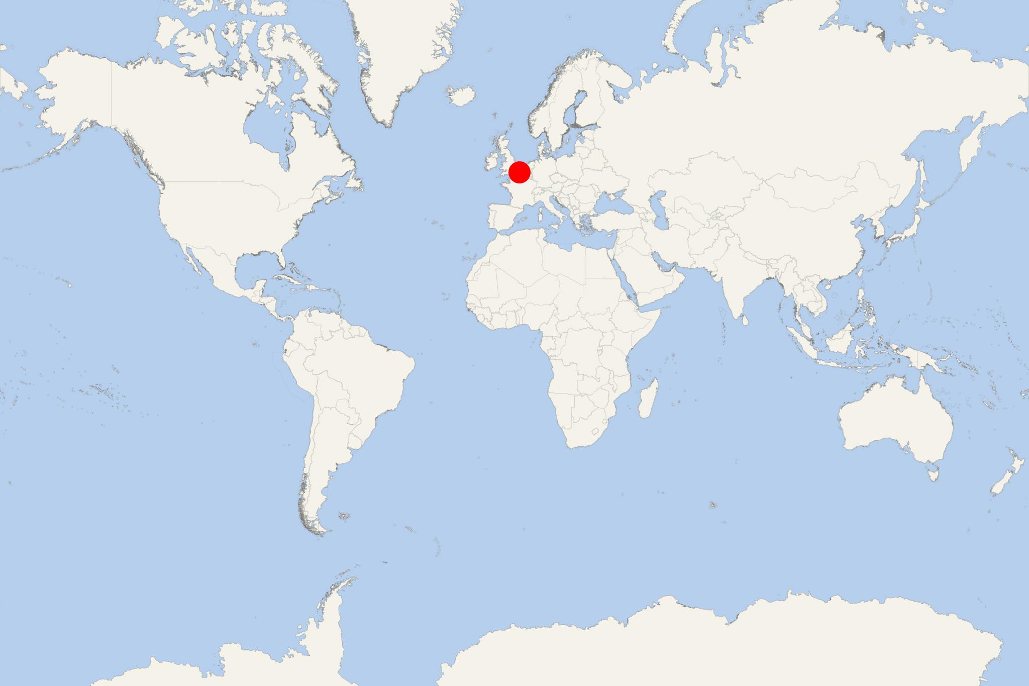
Calais is a major ferry port city located in northern France. Calais metropolitan area has population around 127,000. This port city overlooks the English Channel's narrowest point - the Strait of Dover, which is just 34 km (21 mi) wide here. This makes Calais France's closest to England town.
Calais port serves a huge number of ferries between the UK (leaving mainly from Dover) and France. English Channel's crossing durations range between 35 min (to/from Folkestone) and 1,5 hours (to/from Dover). The inaugurated in May 1994 Channel Tunnel (aka Chunnel, length 50 km / 31,4 mi) linked by rail the nearby Coquelles to Folkestone.
Since the Middle Ages, due to its strategic location, Calais has been a major port and an important post serving the trade with England. In 1347, it was annexed by Edward III of England and grew into a center for wool production. Calais was a territorial possession of England until 1558 when it was re-captured by France.
The town used to be called "the brightest jewel in the English crown" due to its great importance as a gateway for the tin, wool, lead and lace trades (or "staples"). In 1805, it was a staging area for the troops of Napoleon for several months during his invasion of the United Kingdom. The town was razed to the ground in the early months of WW2. In May 1940, it became a strategic bombing target for the invading Nazi Germany forces who took it on May 21, 1940 (during the Siege of Calais). The Germans built massive bunkers along the coast, in preparation for launching missiles on England.
Calais-Nord (the old part of the town) is located on an artificial island surrounded by harbors and canals. The modern part (St-Pierre) lies to the south and southeast. In the center of Calais-Nord is the Place d'Armes, in which stands the Tour du Guet (watch-tower). The structure was created in the 13th century and served as a lighthouse until 1848. To the southeast of Place d'Armes is the church of Notre-Dame, built during the English occupation.
Calais cruise terminal
Boulogne Calais Port is the operator of both ports - Calais and Boulogne-sur-Mer. The distance between them is 31 km (19 mi).
Calais Port ferry terminal
Port of Calais is connected to the Europe's motorway network directly via the following routes:
- Route A26-E15 serves central France, also providing access to Paris City.
- Route A16-E40 accesses Northern Europe's Benelux motorway system (Belgium, Holland, Luxembourg).
- Route A16-E402 connects the port to Boulogne and the Normandy region.
- The terminal's ticket office is permanently staffed and operational 24 hours a day.
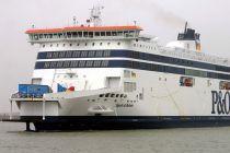
- The main ferry lines that operate to and from Calais are P&O Ferries UK, and DFDS Seaways.
- At approx 4 ml (6,5 km) from Calais is Coquelles, where is located the Eurotunnel terminal. Coquelles also offers a direct train link Calais - Paris.
- Calais Terminal's location (GPS coordinates) are: latitude (50:57:58N or 50.96622) and longitude (1:51:43E or 1.86201).
- Terminal's address is "Car Ferry Terminal, 62100 Calais, France".
Port's parking service is free - a public car park is located right in front of the Terminal building. However, the parking lot is unsecured and vehicles owners park there at their own risk.
Calais works well as either a compact city visit or a gateway to the Opal Coast. The central sights, maritime quarter and beach are close enough to combine during a typical call, although access from the ship depends on the berth and port arrangements. For the surrounding cliffs and coastal villages, pre-arranged transport is preferable.
At a Glance
- Independent sightseeing: Easy once transferred beyond the operational port area.
- Best local choices: Town Hall and Rodin monument, Place d'Armes, lighthouse, maritime quarter and Calais Beach.
- Best excursion: Cap Blanc-Nez and the Opal Coast.
- Terrain: Central Calais and the seafront are generally flat; the lighthouse has 271 steps, while the coastal cliffs involve slopes and exposed paths.
Getting from the Cruise Port
Cruise ships dock in Calais rather than tendering, but the port is a large working complex with secure and vehicle-dominated areas. Ships may use different berths, so passengers should follow the cruise line's instructions concerning any shuttle, escorted exit or pickup point. Do not assume that walking directly from the gangway will be permitted or convenient.
Once outside the restricted port area, central Calais is compact. Taxis are useful for the beach, the International City of Lace and Fashion, or a privately arranged coastal trip. The local Imag'in bus network is free, but routes and departure times should be checked for the day of the call.
Best Ways to Spend Your Time
Explore Central Calais
Allow about 2–3 hours for the principal city sights. Begin at the Town Hall, whose belfry dominates the skyline, and see Rodin's monument to the Burghers of Calais in the gardens. Continue toward Parc Saint-Pierre and the Second World War museum housed in a former German naval bunker, if its opening schedule fits the call.
The International City of Lace and Fashion occupies a former lace factory and is the strongest indoor attraction in Calais. Allow at least 1–1.5 hours inside and check opening days before relying on it as the main activity.
Maritime Quarter, Lighthouse and Place d'Armes
The Courgain Maritime district provides the most distinctively local walk. Place d'Armes, the Tour du Guet watchtower, fishing streets, Fort Risban and the harbor approaches can be explored together in around 1.5–2 hours.
Calais Lighthouse offers wide views over the port, city and English Channel in clear weather. Reaching the top requires climbing 271 steps, so it is unsuitable for visitors with limited mobility. Verify access times before setting out.
Calais Beach and the Dragon
The broad sandy beach and renovated seafront are suitable for a relaxed 2–3-hour outing. Visitors can walk the promenade, see Fort Risban and view the large mechanical Dragon of Calais. Rides operate to a schedule and should not be treated as guaranteed without advance confirmation.
The seafront is exposed to wind and rapidly changing Channel weather. Swimming conditions can be affected by tides, currents and weather; follow local warnings and allow time to return from the beach to the designated port pickup point.
Cap Blanc-Nez and the Opal Coast
Cap Blanc-Nez lies roughly 15 km (9.3 mi) southwest of Calais. Its chalk cliffs, coastal paths and Dover Patrol memorial provide extensive views across the Strait of Dover when visibility is good. A visit normally requires a taxi, private driver or organized excursion.
Allow about 3–4 hours for a simple return trip with a cliff walk, and longer if combining the cape with Wissant or Cap Gris-Nez. Paths can be steep, muddy and very exposed to wind. An organized excursion is the safer choice when the call is short or when local taxis have not been reserved for both directions.
Self-Guided Walking Tours
Central Calais Highlights
Route: Central shuttle drop-off or Town Hall → Burghers of Calais monument → Parc Saint-Pierre → International City of Lace and Fashion → central shopping streets → Place d'Armes.
Distance: Approximately 3.5 km (2.2 mi). Pure walking time: About 50 minutes. Recommended time: 2.5–4 hours with a museum or café stop. Difficulty: Easy, mostly level urban walking.
From Place d'Armes, return to the ship's designated meeting point or continue with the maritime route if time permits.
Maritime Quarter and Seafront
Route: Place d'Armes → Tour du Guet → Courgain Maritime → Calais Lighthouse → harbor waterfront → Fort Risban → Dragon of Calais → beach promenade.
Distance: Approximately 4 km (2.5 mi) one way, depending on the finishing point. Pure walking time: About 1 hour. Recommended time: 2–3 hours. Difficulty: Easy on mostly level streets and promenades; strenuous only if climbing the lighthouse.
Rather than retracing the entire route, use a taxi or confirmed local bus from the seafront when time is limited. Keep the ship's port pickup location separate from the public ferry terminal.
Practical Tips
- Confirm the berth, passenger exit and return pickup point onboard because arrangements can change between calls.
- Check same-day opening information for the lighthouse, museums and Dragon rides; several attractions do not operate continuously.
- Take a windproof or waterproof layer even in summer, especially for the beach and Cap Blanc-Nez.
- Reserve taxis or private coastal transport in advance rather than expecting vehicles to wait at a remote cliff viewpoint.
- Paris is far beyond Calais and is not a sensible independent objective during an ordinary port call.
- Allow at least 45–60 minutes of contingency before the ship's required all-aboard time, with a larger margin after an independent coastal excursion.
Calais hotels
- Cruise Industry
Wartsila secures lifecycle agreement with P&O Ferries UK for hybrid ships
Finnish technology conglomerate Wartsila has recently inked a lifecycle agreement with the UK-based passenger and cargo shipping company P&O...
March 18, 2024 - Cruise Industry
P&O Ferries UK achieves 50,000-ton CO2 emission reduction milestone
P&O Ferries, a prominent maritime transport service provider, has significantly reduced its CO2 emissions by ~50,000 tonnes over the past year...
March 2, 2024 - Cruise Industry
P&O Pioneer ferry to debut with freight-only sailing Dover-Calais
According to the timetables of P&O Ferries, the company's newest ship in the Dover Strait - P&O Pioneer, will soon start revenue operations...
June 12, 2023 - Accidents
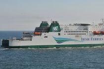
Irish Ferries' Isle of Innisfree ship adrift after an engine room fire accident in the middle of...
French and British authorities on March 3rd received a report that an Irish Ferries-operated ship in the middle of the English Channel had been...
March 7, 2023 - Accidents
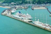
Fire breaks out on Irish Ferries' ship Isle of Innisfree (Dover-Calais route)
3 lifeboats from Kent along with a French salvage tug were launched after a fire broke out on a Dover-Calais ferry in the English Channel. The...
March 4, 2023 - Cruise Industry
P&O Ferries takes delivery of the first of 2 new “fusion class” ferries for its Dover-Calais route
Dover-based ferry company P&O Ferries took delivery of the first of 2 new “fusion class” ships for its Dover (England UK)-Calais...
March 2, 2023 - Cruise Industry
P&O Ferries' new hybrid ships cannot charge at Dover/Calais docks
P&O Ferries UK came under criticism for its purchase of 2 new hybrid electric cruiseferries despite a lack of suitable shore-power/in-port...
March 1, 2023 - Accidents
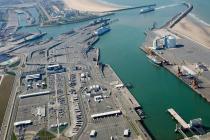
Dover-Calais ferry services suspended due to strike in France
Ferry services to/from Calais (France) were suspended due to a national strike in France. P&O Ferries said it had produced an optimized sailing...
January 20, 2023 - Accidents
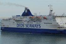
Ferry companies DFDS and P&O apologize for long waits at UK border controls
Ferry operators DFDS and P&O Ferries apologized for the long waits at UK border controls on Saturday, August 3. Travelers heading to the United...
September 4, 2022 - Accidents
UK's Ministry of Defence used P&O Ferries despite condemning the company for sacking ~800 staff
The UK government admitted that P&O Ferries had been used by the military, despite condemning the company for sacking ~800 staff without notice...
July 21, 2022 - show more news