

Cape Horn (Chile Antarctica)
Cruise Port schedule, live map, terminals, news
Region
Arctic - Antarctica
Local Time
2026-09-29 15:01
 42°F
42°F 5.5°C

 Light breeze
2.4 m/s
 43 °F / 6 °C
 40 °F / 5 °C
Port Cape Horn cruise ship schedule shows timetable calendars of all arrival and departure dates by month. The port's schedule lists all ships (in links) with cruises going to or leaving from Cape Horn, Chile Antarctica. To see the full itineraries (ports of call dates and arrival / departure times) and their lowest rates – just follow the corresponding ship-link.
| Day | Ship | Arrival | Departure |
|---|---|---|---|
| 30 October, 2026 Friday |  MS Fridtjof Nansen MS Fridtjof Nansen |
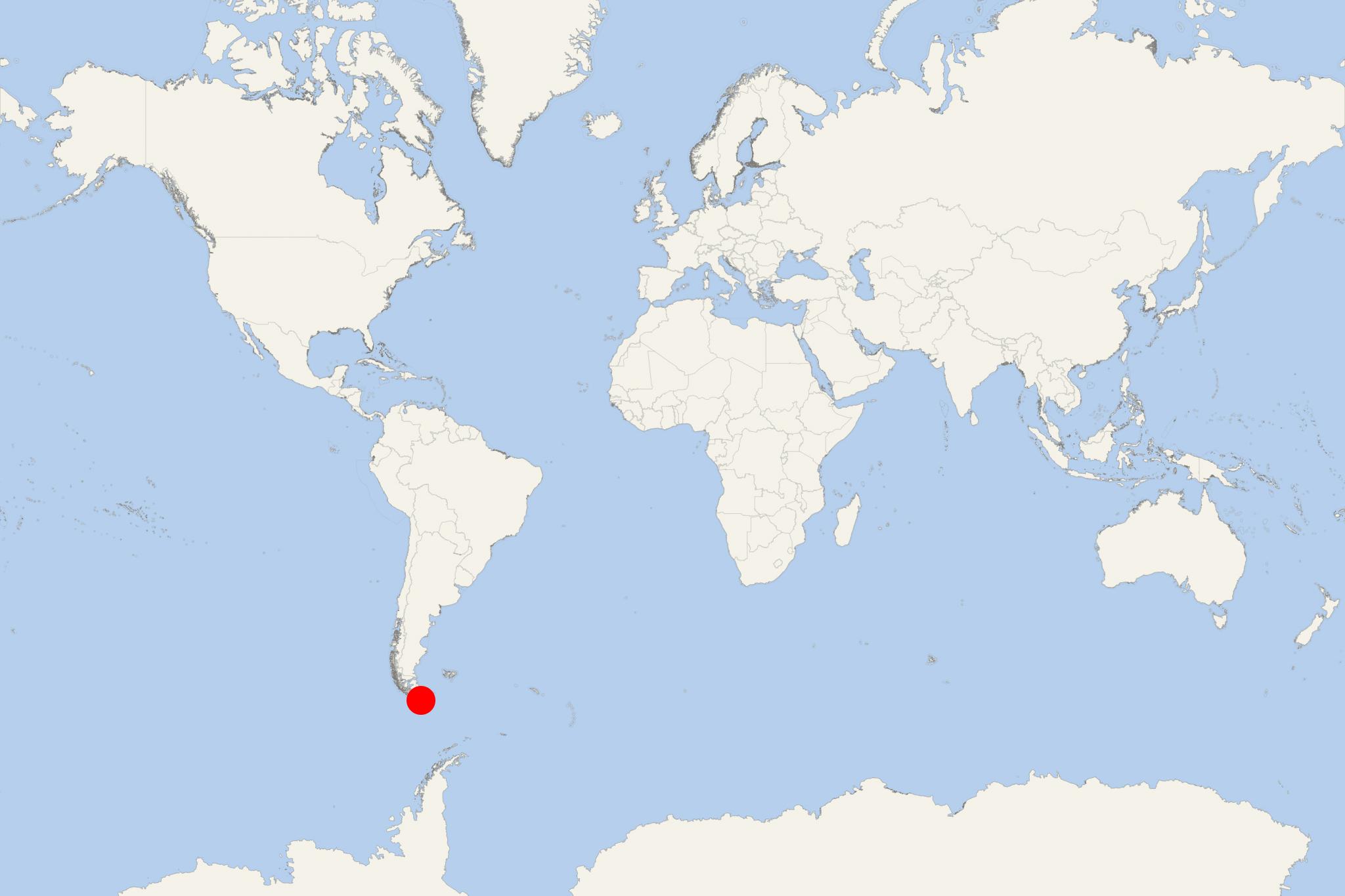
Cape Horn (officially Cabo de Hornos) is the southernmost headland of the Tierra del Fuego archipelago (Chile). It is located on the Hornos Island - at the southern tip of South America. It is considered the continent's southernmost island, excepting the uninhabited Diego Ramírez Islands located farther south.
On Hornos Island the Chilean Navy maintains a military station. The list of facilities includes a residence building, an utility building, a chapel, a lighthouse.
Isla Hornos is part of the Cabo de Hornos National Park. The park is a designated by UNESCO Biosphere Reserve. The park includes Wollaston Archipelago and Hermite Islands.
Cape Horn is not a conventional cruise port. There is no terminal, town, road network or independent transport on Hornos Island. Most large cruise ships make a scenic passage offshore, while some expedition vessels attempt a Zodiac landing. Going ashore is never guaranteed: wind, swell and visibility can cancel the operation at short notice.
At a Glance
- Type of call: Scenic cruising or a weather-dependent expedition landing.
- Independent sightseeing: Not possible. Any landing is organized and supervised by the ship’s expedition team.
- Main experience: Standing on Hornos Island, visiting the Albatross Monument, lighthouse and Stella Maris Chapel, and viewing the exposed subantarctic landscape.
- Typical time ashore: Usually about 1–2 hours when conditions permit.
- Mobility: Zodiac boarding, a potentially wet landing, a long outdoor staircase and exposed wooden walkways make this unsuitable for passengers with limited mobility.
Scenic Cruising
For ships that do not land, the attraction is the passage itself. Passengers may see the steep headland, lighthouse and surrounding islands from the vessel, although fog and rough weather can reduce visibility. Listen for the captain’s announcements, as the best viewing side can change with the ship’s course.
Use an outside deck if conditions allow, but expect strong wind, cold temperatures and spray. Binoculars and a weather-protected camera are useful. There are no shore activities unless the cruise line specifically confirms an expedition landing.
Expedition Landing on Hornos Island
Passengers travel ashore by Zodiac under expedition-team supervision. The small landing area has no normal pier, and conditions can be wet or unstable. From the shore, visitors climb a substantial staircase to the island’s plateau and then follow raised wooden walkways across fragile, waterlogged terrain.
Albatross Monument
The island’s best-known landmark is a steel memorial whose open sections form the silhouette of an albatross. It commemorates mariners who died while attempting to round Cape Horn. The exposed location also provides broad views over the cape and surrounding sea when visibility is clear.
Lighthouse and Stella Maris Chapel
The staffed Chilean naval station includes the commonly visited lighthouse and the tiny Stella Maris Chapel. Access inside buildings, interaction with the resident personnel and souvenir passport stamping should not be assumed; these depend on the arrangements and conditions on the day.
Subantarctic Landscape
The low vegetation, mosses and windswept terrain are part of the experience. Seabirds may be visible, but Cape Horn should not be treated as a guaranteed wildlife landing. Remain on the marked walkway and follow all instructions intended to protect the fragile ground.
Supervised Walking Route
Difficulty: Moderate, despite the short distance. The main challenges are Zodiac transfers, the steep initial staircase, wet surfaces, strong wind and rapidly changing weather.
- Zodiac landing area.
- Climb from the shore to the island plateau.
- Follow the wooden walkway toward the Albatross Monument.
- Continue as directed to the lighthouse and Stella Maris Chapel.
- Return along the designated walkway and descend to the Zodiac embarkation point.
Allow approximately 1–2 hours including brief stops, photography and group movements. This is not a self-guided hike: passengers must remain within the route and timetable established by the expedition staff.
Practical Tips
- Treat any landing as a bonus rather than a certainty. A decision can change immediately if wind or swell increases.
- Wear waterproof outer layers, warm insulating clothing, gloves and secure footwear with good grip.
- Keep both hands available for Zodiac boarding and the staircase; use a small waterproof backpack instead of a loose shoulder bag.
- Passengers should be able to negotiate steps and enter or leave a moving Zodiac with assistance. Ask the expedition team about mobility requirements before disembarking.
- Do not leave the marked walkway, approach wildlife or separate from the supervised group.
- If a landing is cancelled, remain alert for scenic-cruising announcements and viewing opportunities from the ship.
Cape Horn hotels
- Cruise Industry
Explora Journeys unveils 2 new Journey Collections for Winter 2027–2028
Explora Journeys has announced two new Journey Collections/ship deployments for the Northern Winter 2027–2028 season. EXPLORA I is scheduled to...
September 18, 2026 - Cruise Industry
Fred. Olsen Cruise Lines schedules 87-night Amazon & Antarctica Grand Voyage for 2028
The UK-based Fred Olsen Cruise Lines has scheduled an 87-night Grand Voyage combining the Amazon and Antarctica on a single round-trip sailing from...
July 23, 2026 - Cruise Industry
Princess Cruises schedules 2027–2028 South America and Antarctica program
Princess Cruises has introduced its 2027–2028 South America program for Majestic Princess, outlining a series of voyages scheduled between...
March 25, 2026 - Cruise Industry
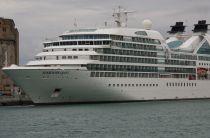
Seabourn Quest ship's 120-day “Cape to Cape” World Cruise 2028
Seabourn has outlined its 2028 Cape to Cape World Cruise, a 120-day global passage aboard Seabourn Quest that will span 5 continents and more than 50...
December 23, 2025 - Cruise Industry
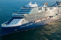
Celebrity Cruises' 2027-2028 fleet deployment schedule
Celebrity Cruises has unveiled its global fleet deployment schedule for 2027–2028, outlining an extensive program that spans the Caribbean...
November 12, 2025 - Cruise Industry
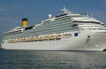
Costa Serena ship’s 2026 World Cruise spans Asia, Oceania, Australia, South America
Costa Cruises' ship Costa Serena has a global voyage from Tokyo to Buenos Aires, scheduled for October 18 to December 22, 2026. The 66-night...
July 1, 2025 - Cruise Industry
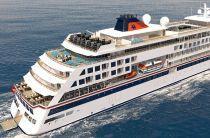
Hapag-Lloyd Cruises expands Antarctic iItineraries with focus on the Weddell Sea
Hapag-Lloyd Cruises has released details of its 2025-2026 Antarctic expedition program, highlighting several new itineraries that further emphasize...
April 27, 2025 - Cruise Industry
Princess Cruises announces expanded Antarctic 2025-2026 season
The International Association of Antarctica Tour Operators (IAATO) reports a record 105,331 visitors to Antarctica last season. Princess Cruises is...
May 6, 2024 - Cruise Industry
Princess Cruises opens bookings for South America & Antarctica 2024-2025 season
The luxury travel brand Princess Cruises opened for booking an array of captivating voyages scheduled for South America and Antarctica season 2024...
August 8, 2023 - Cruise Industry
HAL-Holland America opens bookings for 2025 Grand World Voyage & Grand Voyage: Pole to Pole
After a successful pre-booking period, HAL-Holland America officially commenced public bookings on May 24th for its 2 newest Grand Voyages. These...
May 26, 2023 - show more news