Naviti Island Fiji
Cruise Port schedule, live map, terminals, news
Region
Australia - New Zealand - Pacific Ocean Islands
Local Time
2026-02-02 14:22
 84°F
84°F 28.8°C

 Gentle breeze
3.6 m/s
 84 °F / 29 °C
 83 °F / 29 °C
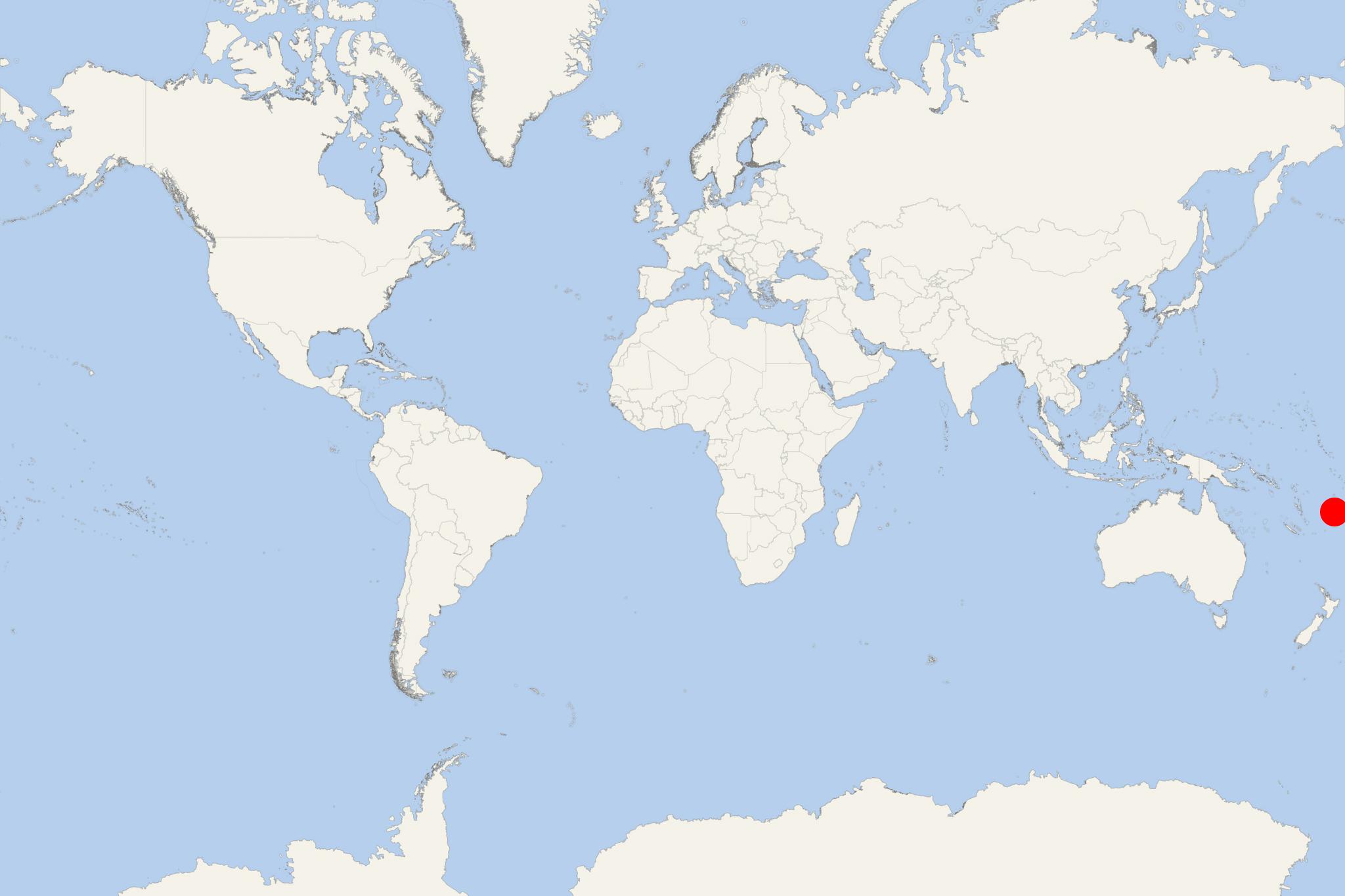
Naviti Island is one of the Yasawa Islands, located in Fiji's Western Division. The island covers land area of 34 km2 (13 mi2) and has highest elevation point 388 m (1273 ft). It is covered with tropical dry forests, mainly mangroves and coconut palm trees.
The first European visited Naviti Island in 1789 - the British Royal Navy officer William Bligh (1754-1817). The island has several villages, including Gunu, Kese, Marou, Muere, Malevu, Somosomo, Soso (main village), all interconnected via trails. Yasawa High School (Yasawa's only high school) is on Naviti. Most villages have primary schools and kindergartens. Island's main economy is tourism (resort hotels).
An inter-island ferry service offers regularly scheduled ferries from Denarau-Nadi to the island resorts Barefoot Kuata Island, Wayalailai Ecohaven (Yasawa), Naqalia Lodge (Wayasewa), Nabua Lodge (Yasawa), Oarsman Bay Lodge (Yasawa, Nacula Island), Barefoot Manta Island, Paradise Cove (Naukacuvu), Botaira Beach Resort (Yasawa, Naviti Island), Eco Tour Resort (Naviti), Sandy Beach (Yasawa), Long Beach Resort (Yasawa Island), Bay of Plenty Resort (Matacawalevu), Navutu Stars Resort (Yaqeta Island), Lagoon Beach Resort (Nacula), Coralview Resort (Yasawa, Coralview Island), Coconut Beach Resort (Tavewa Island), Nanuya Island Resort. The ferry service (7 crossings weekly) is operated by the company Awesome Adventures Fiji.
Naviti Island Fiji cruise terminal
Larger cruise ships to Naviti Island dock at Lautoka (Fiji's 2nd port of entry - after Suva), located on the western coast of mainland Fiji (Viti Levu Island). Smaller ships anchor in open sea and transport their passengers to Naviti Island via the ship's tender boats or Zodiacs (inflatable boats used for landings).
