Port Colborne ON (Ontario Canada, Niagara Falls)
Cruise Port schedule, live map, terminals, news
Region
Canada and USA Rivers
Local Time
2026-01-12 17:18
 34°F
34°F 1°C

 Near gale
15.5 m/s
 36 °F / 3 °C
 31 °F / -0 °C
Port Port Colborne ON cruise ship schedule shows timetable calendars of all arrival and departure dates by month. The port's schedule lists all ships (in links) with cruises going to or leaving from Port Colborne ON, Ontario Canada, Niagara Falls. To see the full itineraries (ports of call dates and arrival / departure times) and their lowest rates – just follow the corresponding ship-link.
| Day | Ship | Arrival | Departure |
|---|---|---|---|
| 18 April, 2026 Saturday | |||
| 27 April, 2026 Monday | |||
| 30 April, 2026 Thursday |
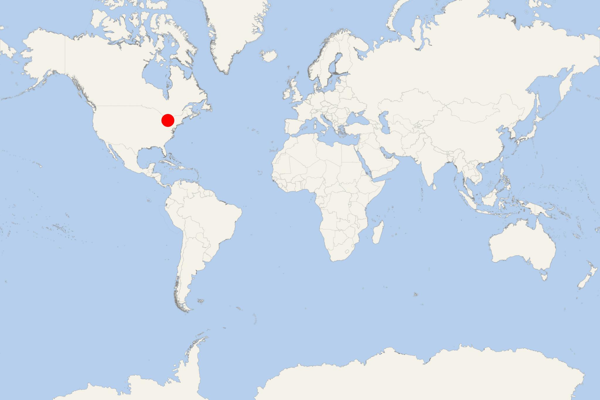
Port Colborne ON (port locode CAPCO) is a Lake Erie cruise port and city in Canada's Ontario Province (Niagara Region), with population around 18,000. From the lake the Port is accessed via the Welland Canal. Via bus tours from Port Colborne are accessed the Niagara Falls. The distance between Port Colborne and Niagara Falls is approx 35 km (20 mi / ~0,5-hour drive) via King's Highway 140. When traveling on large ships, Niagara Fallas are accessed via bus tours from Toronto.
The city's current-day economy is heavily based on shipping (maritime commerce, ship-repairs, ship recycling) and tourism, as well as on well-developed industries like food processing (Jungbunzlauer Canada Inc, Port Colborne Poultry Ltd, Ingredion Canada Inc), nickel mining and processing (Vale Canada Ltd/subsidiary of Vale SA/Brazil), manufacturing (Oskam Steel Fabricators Ltd, IMT Partnership, Thurston Machine Company Ltd, JTL Integrated Machine Ltd, ADM Milling). Local businesses (including Vale's nickel refinery) benefit from the cheap electricity generated at Niagara Falls.
Besides the nearby Niagara Falls and Lake Erie's beaches and marinas (pleasure boats- and yachts-serving facilities), local tourist attractions include Canal Days (Welland-themed annual marine festival), Historical and Marine Museum (near downtown), Showboat Festival Theatre. Along the Welland Canal are located numerous tourism-oriented facilities serving golfing, fishing, boating (Sugarloaf Harbour Marina), trailing, dining (restaurants and cafes), shopping (Port Promenade), recreational parks (Nickel Beach, Lock 8 Gateway Park, HH Knoll Lakeview Park).
The settlement was established in the early 19th century (as Gravelly Bay) and later renamed to honor John Colborne/1st Baron Seaton (1778-1863, was a British Army officer/Field Marshal and colonial governor). When the Welland Canal was opened (1833) he was the acting Lieutenant Governor of Upper Canada (appointed in 1828). Previously, the region was inhabited by the Iroquois tribe. Port Colborne received village status in 1870, town status in 1918, and city status in 1966. The city was expanded several times via mergers with neighboring communities.
The Welland Canal (length 43 km / 27 mi) via 8 locks connects Lake Ontario (north/Port Weller) and Lake Erie (south/Port Colborne). The waterway can be navigated by ships with max LOA length 226 m (740 ft), max width 24 m (78 ft), max draft 8 m (27 ft), max height 35,5 m (116 ft / Garden City Skyway Bridge's clearance). The average time for ships to pass through the waterway's entire length is ~11 hours.
Welland is part of the St Lawrence Seaway and the Great Lakes Waterway (both are systems of natural channels and artificial canals interconnecting the Great Lakes). Welland Canal was constructed between 1824-29. Its locks allow marine vessels to bypass Niagara Falls. Welland's southern terminus (Lake Erie) is higher (100 m / 326 ft) than the Lake Ontario terminus.
Niagara Falls
Niagara Falls are three waterfalls that span the USA-Canada border (New York-Ontario) - Horseshoe Falls (largest) is on the border while the smaller ones (American Falls, Bridal Veil Falls) are in the USA. Buffalo NY is approx 27 km (17 mi) to the south, Toronto is approx 121 km (75 mi) to the north.
Niagara Falls follow Niagara River (north/drains Lake Erie into Lake Ontario) and have max height/vertical drop 51 m (160 ft). Every minute, 168000+ m3 of water goes over the waterfalls. The average annual flow per second is 6400+ m3.
The cities Niagara Falls (Ontario) and Niagara Falls (New York) are interconnected via two bridges - Rainbow Bridge (open to non-commercial vehicle traffic and pedestrians) and Whirlpool Rapids Bridge (Niagara River's oldest).
Niagara River's first hydropower plant was built in 1881, generating electricity mainly for the local mills. Built between 1957-61, the Robert Moses Niagara Hydroelectric Power Station (in Lewiston NY) uses 13 generators with max power output 2675 MW. With annual capacity 2,4 GW, this is New York state's largest electricity producer.
Through the hydropower station every second pass ~1420 m3 (~380,000 US gallons) of water. Currently, 50-75% of the river's flow is diverted (via 4x tunnels) upstream from the waterfalls, passing thru the turbine generators then returning to the river again (near Lake Ontario).
Sir Adam Beck Hydroelectric Generating Stations (in Niagara Falls ON) are owned by the Crown corporation Ontario Power Generation Inc. These two Canadian stations (Adam Beck 1, and Adam Beck 2) divert water from Welland River (via Chippawa-Queenston Power Canal) into three tunnels (under Niagara Falls). Both stations have combined power output 1997 MW.
Currently, 50-75% of the Niagara River's flow is diverted (via 4x tunnels) upstream from the waterfalls, passing thru the turbine generators then returning to the river again (near Lake Ontario).
Niagara Falls' tourist season runs between April 1st and October 31st.
- Cruise Industry

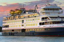
Victory Cruise Lines christens Victory I in Toronto, Canada
Victory Cruise Lines (now part of AQV-American Queen Voyages), specializing in all-inclusive, small-ship coastal cruising on the Great Lakes and...
April 28, 2025 - Cruise Industry

Victory Cruise Lines/VCL returns to Great Lakes and Canadian waters
Victory Cruise Lines/VCL, a boutique operator specializing in small-ship voyages, is preparing to re-enter the U.S. market this April with a renewed...
April 20, 2025 - Cruise Industry

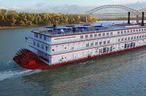
American Queen Voyages 2024 season's new routes & itineraries
AQV-American Queen Voyages released its 2024 season, marking the furthest in advance a cruise season has opened for reservations in the 10-year...
December 17, 2021 - Cruise Industry

Victory Cruise Lines Announces 2020 Itineraries
Victory Cruise Lines, which is committed to small-ship cruising on the Great Lakes and along the North American coasts, announced their 2020 cruise...
June 17, 2019 - show more news
