

Cape Cod Canal (Massachusetts)
Cruise Port schedule, live map, terminals, news
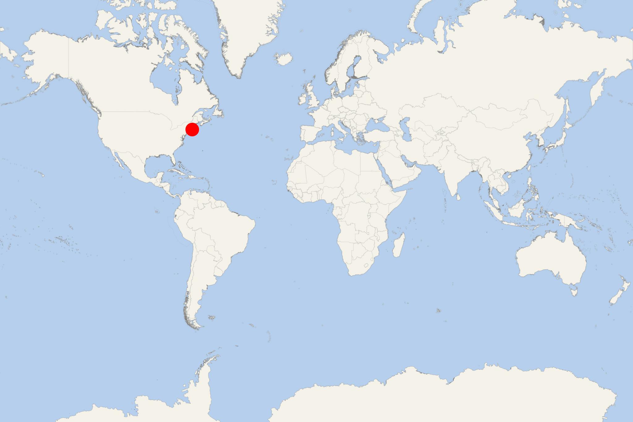
Region
East Coast USA and Canada New England
Local Time
2026-10-14 08:21
 65°F
65°F 18.2°C

 Mod. breeze
5.9 m/s
 76 °F / 25 °C
 62 °F / 17 °C
Port Cape Cod Canal cruise ship schedule shows timetable calendars of all arrival and departure dates by month. The port's schedule lists all ships (in links) with cruises going to or leaving from Cape Cod Canal, Massachusetts. To see the full itineraries (ports of call dates and arrival / departure times) and their lowest rates – just follow the corresponding ship-link.
| Day | Ship | Arrival | Departure |
|---|---|---|---|
| 7 October, 2027 Thursday |  ACL American Pioneer ACL American Pioneer | ||
| 17 October, 2027 Sunday |  Seabourn Quest Seabourn Quest | ||
| 19 October, 2027 Tuesday |  Le Bellot Le Bellot | ||
| 20 October, 2027 Wednesday | Seabourn Quest | ||
| 21 October, 2027 Thursday | ACL American Pioneer | ||
| 24 October, 2027 Sunday | ACL American Pioneer | ||
| 26 October, 2027 Tuesday |  Azamara Quest Azamara Quest | 22:00 | 23:00 |
| 27 October, 2027 Wednesday | ACL American Maverick |
Cape Cod Canal is a man-made waterway located in Massachusetts USA. It connects Cape Cod Bay (located in the north) to Buzzards Bay (in the south).
- Part of Atlantic Intracoastal Waterway, the approx 11,3 km (7 ml) long canal traverses the tight neck of land which joins Cape Cod to state's mainland. Most of canal's length follows tidal rivers widened to 150 m (480 ft) and deepened to 9,8 m (32 ft) at mean low water, shaving 217 km (135 ml) off the trip around the Cape for its approx 14,000 annual users.
- Most of Cape Cod Canal is located in Bourne, Massachusetts. However, its northeastern terminus is situated in the town of Sandwich. Close to the north entrance of the canal lies Scusset Beach State Reservation, while Massachusetts Maritime Academy lies near its south. Swift running current alters direction every 6 hours and can reach 8,4 km (5,2 ml) per hour during receding ebb tide.
- Cape Cod Canal is maintained by the U.S. Army Corps of Engineers and features no toll fees. It's spanned by Cape Cod Canal Railroad Bridge and 2 highway bridges - Sagamore and Bourne. Traffic lights found at either end govern vessels' approach over 19,8 m (65 ft).
- Although being artificial, the waterway is occasionally used by dolphins and whales including endangered North Atlantic right whales which can cause canal's closure.
Cape Cod Canal is used extensively by commercial and recreational vessels (day-trip riverboats and cruise ships). Service roads on both its sides provide access for fishing and are used by in-line walkers, skaters and bicyclists. Several parking areas are provided at access points. Visitors often just sit and watch boats and ships transiting Cape Cod. Bourne Scenic Park, adjacent to the Canal is leased by Corps of Engineers to Town of Bourne Recreation Authority for use as RV campground and a tent.
In the morning on October 2, 2015 (at around 10 am), the world's largest residential (privately-owned) cruise ship MS The World navigated through the Cape Cod Canal waterway passing under Sagamore, Bourne, railroad bridges. The large vessel has a total of 165 residences (privately-owned staterooms / appartments), including studios, 1-bedroom, 2-bedroom and 3-bedroom suites.
Cape Cod Canal cruise terminal
The following map of Cape Cod Canal shows all sites (for tent and trailer camping, fishing, swimming, viewing areas), as well as the exact location of stores, tourist info centres, boat / yacht marinas, bicycle and hiking trails, ranger stations.
Cape Cod Canal is a scenic transit, not a conventional port call. Cruise ships normally sail through the canal without docking or tendering, so passengers cannot go ashore here. The experience is best enjoyed from an open deck as the ship passes close to the canal banks and beneath its three bridges.
At a Glance
- Type of visit: Scenic ship transit.
- Going ashore: Not available during a normal canal transit.
- Canal length: Approximately 11.9 km (7.4 mi) between Cape Cod Bay and Buzzards Bay.
- Best activity: Watch the shoreline, bridges and passing vessels from an outside deck.
- Independent sightseeing: Not applicable because there is no passenger landing.
What to See During the Transit
Canal Banks and Recreation Paths
The canal is relatively narrow, giving passengers close views of its wooded banks, service roads, cycling paths, marinas, fishermen and recreational boats. Look for people gathering along the shoreline to watch the cruise ship pass.
Sagamore and Bourne Bridges
The two large road bridges are the most prominent landmarks along the canal. Their high steel arches frame the ship as it passes below, making the transit particularly impressive from an upper open deck.
Cape Cod Canal Railroad Bridge
Near the Buzzards Bay end, the vertical-lift railroad bridge is the canal’s most distinctive structure. Its central span normally remains raised for marine traffic and is lowered when trains need to cross.
Buzzards Bay End
Near the western entrance, passengers may see Massachusetts Maritime Academy, training vessels, marinas and the wider waters of Buzzards Bay. At the opposite end, the canal opens into Cape Cod Bay near Sandwich and Scusset Beach.
Best Way to Experience the Canal
- Check the ship’s daily program or announcements for the estimated canal-entry time; tidal conditions and vessel traffic can affect the schedule.
- Choose an open upper deck for the broadest view, but move between sides if practical because landmarks appear on both banks.
- Be outside before the ship reaches the first bridge. The most interesting part of the passage is compact and may be over in roughly one to two hours.
- Bring a light outer layer, especially for an early-morning, evening or autumn transit.
- After dark, expect views of illuminated bridges and shoreline lights rather than detailed scenery.
Important for Itinerary Planning
A Cape Cod Canal listing should not be treated as a day ashore in Cape Cod. There is no cruise terminal, shuttle service, walking tour or independent transfer associated with a normal transit. Any separate shore visit to Sandwich, Bourne, Provincetown or another Cape Cod destination will appear as its own port call in the cruise itinerary.
Cape Cod Canal hotels
- Accidents
Search suspended after crew overboard from NCL's ship Norwegian Breakaway near Cape Cod
The USCG/Coast Guard has suspended its search for a crew member reported overboard from Norwegian Breakaway at 1:15 a.m. on Sunday, April 26th, while...
April 27, 2026 - Cruise Industry
ACL-American Cruise Lines anchors New Bedford as a regional cruise gateway
ACL-American Cruise Lines is increasing its presence in New Bedford MA (Massachusetts) this year, planning over 50 calls as part of its New England...
July 7, 2025 - Cruise Industry
Azamara expands Fall 2024 cruises to Canada and New England USA
The ultra-luxury travel brand Azamara has revealed two upcoming sailings for the fall of 2024, expanding its itinerary program to include new ports...
January 14, 2024 - Cruise Industry
Azamara's 2025 Fall Voyages: rediscovering New England and charting new maritime frontiers
Azamara's upcoming fall expeditions in 2025 signal a maritime odyssey, heralding the cruise line's return to the captivating shores of New England...
December 29, 2023 - Cruise Industry
ACL's first new Coastal Catamaran (American Eagle) enters service
ACL-American Cruise Lines introduced its newest ship - Coastal Cat American Eagle (catamaran-design vessel). The inaugural voyage was marked by a...
August 30, 2023 - Cruise Industry
Fred Olsen releases the first itinerary from its 2023 cruise program
Fred Olsen Cruise Lines unveiled its first look into 2023 with the release of a "North American Waterways and Canadian Fall" itinerary, including the...
July 30, 2020 - Cruise Industry
Fred Olsen Launches ‘American Waterways in the Fall with New York’ Cruise
Fred Olsen introduced its inaugural 34-night ‘American Waterways in the Fall with New York’ cruise onboard ms Balmoral in September 2020...
November 11, 2018 - Accidents
Cape Cod Bridges Inspected After Cruise Ship Accident
Three bridges over Cape Cod Canal were checked out and none have any damage following a pole on a cruise liner clipped one of them on...
October 18, 2016 - Accidents
Viking Star Clips Railroad Bridge: VIDEO
Army Corps of Engineers personnel on duty at Cape Cod Canal (Massachusetts) on Wednesday night, October 12, heard scraping sounds as a Viking...
October 14, 2016 - show more news