

Chilean Fjords (Patagonia)
Cruise Port schedule, live map, terminals, news
Region
South America
Local Time
2026-10-04 15:16
 46°F
46°F 7.5°C

 Light breeze
1.9 m/s
 49 °F / 10 °C
 41 °F / 6 °C
Port Chilean Fjords cruise ship schedule shows timetable calendars of all arrival and departure dates by month. The port's schedule lists all ships (in links) with cruises going to or leaving from Chilean Fjords, Patagonia. To see the full itineraries (ports of call dates and arrival / departure times) and their lowest rates – just follow the corresponding ship-link.
| Day | Ship | Arrival | Departure |
|---|---|---|---|
| 11 March, 2026 Wednesday |  ms Europa 2 ms Europa 2 | ||
| 15 March, 2026 Sunday |  Quark Ultramarine Quark Ultramarine | ||
| 17 March, 2026 Tuesday |  Viking Octantis Viking Octantis | ||
| 17 March, 2026 Tuesday | Quark Ultramarine | ||
| 19 March, 2026 Thursday | Viking Octantis | ||
| 19 March, 2026 Thursday | Quark Ultramarine | ||
| 21 March, 2026 Saturday | Quark Ultramarine | ||
| 24 March, 2026 Tuesday | Viking Octantis |
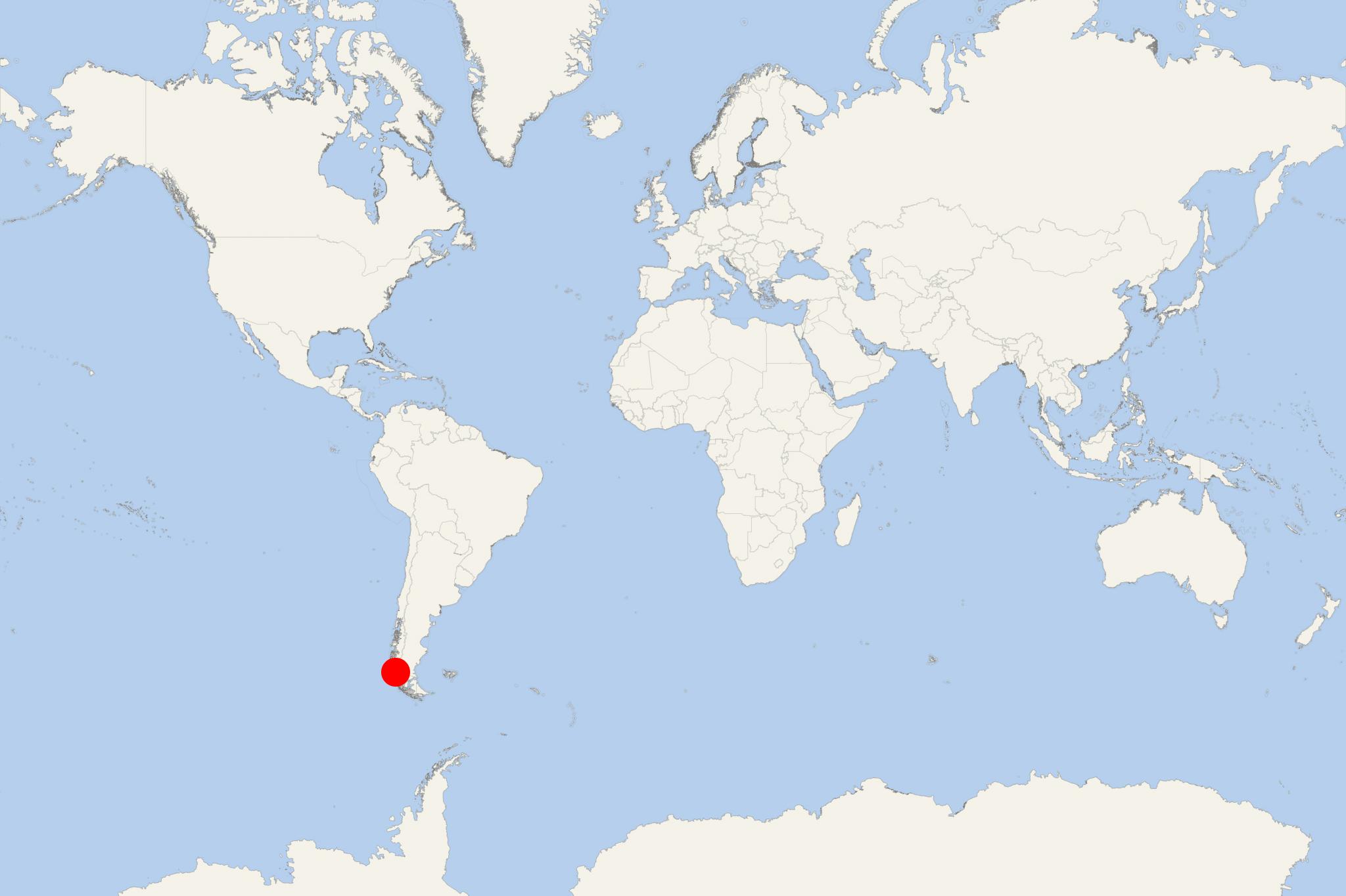
Chilean Fjords and Patagonia are part of the Tierra del Fuego provinces of Chile and Argentina. Chile's southern coast is famous worldwide for the significant number of fjords and fjord-like channels (widely known as "Patagonian channels" ) from the parallels of Cape Horn (55 degree south, Tierra del Fuego's southernmost headland) to the Reloncaví Estuary Fjord (42 degree south, off Reloncaví Sound). Some of the channels and fjords are major navigable channels that provide access to ports like Puerto Chacabuco, Puerto Natales and Punta Arenas.
The route is mostly used by ships desiring to avoid bad weather and heavy seas, so frequently experienced on passing into the Pacific from the western end of Strait of Magellan. The huge full-powered mail steamers gain open sea at Cape Pillar (situated at the west entrance of Strait of Magellan), as that time is this way saved to them. However, ships of less engine power, to which avoiding possible danger is of greatest importance, will find that Patagonian Channels is the best route.
The general features of the channels are abrupt, high shores, with innumerable headlands and peaks, remarkably similar in character. Their bold heads give an appearance of such a gloomy grandeur that is rarely seen elsewhere. Generally, the shores are steep-to and for the most part, the channels are open and free. The few existing dangers are ordinarily marked by kelp. The tides are not strong and regular, except in English Narrows.
Since it is impossible to reach and see all the region through Chile by road, the transport of cargo and persons must be done by road, plane or ship according to the country's public infrastructure provision.
In an attempt to carry significant quantities of vehicles, cargo and people directly onto unimproved shore to supply the coastal region and the islands, the ferry service is the best-suited ship type. Most of them are cargo boats without cruise-type accommodations, though they have managed to boost their customer service. Around 150 larger-sized vessels are sailing in Chile's southern regions.
Cruise ships operate between the main ports of the area navigating at low speed along solitary islands and narrow channels. The most visited by ships glaciers in Chile are Pio Xi, PIO X, Agostini, Piloto and Nena, Jorge Montt, Bujo, Amalia, San Rafael (in the Laguna San Rafael National Park). The ship travel experience also features scenic cruising through majestic fjords and waterways like Peel Fjord, Seno Eyre Fjord, Montanas Fjord, Agostini Fjord, Calvo Fjord, Angostura Inglesa (English Narrows), White Narrows, Wide Channel, Smyth Channel, Moraleda Channel, Cockburn Channel, Darwin Channel, Baker Canal, Canal Sarmiento.
San Rafael Glacier is part of Laguna San Rafael NP (1959-established, sized 17420 km2 / 6730 mi2) named after the San Rafael Lagoon - an arc-shaped coastal lake connected to the north with Moraleda Channel and to the south with the narrow Ofqui Isthmus (linking Taitao Peninsula with the Chilean mainland). The Park includes the Northern Patagonian Ice Field and features a scenic fjord (length 16 km / 10 mi) which is usually sailed by cruise ships.
Chilean Fjords cruise terminal
On the following map you can see all ports and itinerary routes used on cruises through Chilean Fjords and Patagonia (Tierra del Fuego provinces of Chile and Argentina).
The list of main cruise ports of call in Tierra de Fuego includes:
- Chile - Valparaiso-Santiago (turaround port), Puerto Montt, Puerto Chacabuco, Puerto Natales
- cruising through Patagonian channels and Chilean fjords
- Argentina - Ushuaia, Puerto Madryn, Puerto Piramides, Buenos Aires (turaround port)
- Uruguay - Punta del Este, Montevideo,
- Some of the itineraries also visit the capital of Falkland Islands - Stanley (on East Falkland).
At a Glance
Independent sightseeing is not applicable. “Chilean Fjords” usually denotes a scenic-cruising or expedition day in the remote Patagonian channels rather than a conventional port call. There is no central cruise terminal, town or passenger exit associated with this itinerary entry.
Many ships remain underway throughout the day. Expedition vessels may operate Zodiac cruises, kayaking or guided landings, but only when included in the ship’s program and permitted by local weather and sea conditions.
How to Experience the Fjords
Scenic Cruising from the Ship
For most passengers, the principal activity is watching the landscape from the open decks or observation lounges. The route may pass narrow channels, forested islands, waterfalls, snow-covered mountains and tidewater glaciers. Actual sights vary substantially because “Chilean Fjords” covers a vast region rather than one fixed location.
Follow the ship’s daily program and bridge announcements. Glacier approaches and particularly narrow passages may occur early in the morning, and the most interesting scenery can alternate between the port and starboard sides.
Glacier Viewing
Depending on the itinerary, ships may approach glaciers such as Pío XI, Amalia, San Rafael or glaciers within the southern fjords. Viewing distance is determined by ice, visibility, wind and navigation conditions. A scheduled glacier approach can be shortened, altered or cancelled for safety reasons.
Expedition-Ship Activities
Some smaller vessels offer guided Zodiac exploration, kayaking or a controlled shore landing. These activities provide closer views of ice, waterfalls, wildlife and subpolar forest, but they are not independent excursions. Participation normally requires a briefing and suitable clothing, and access depends on the expedition team’s assessment of conditions.
Wildlife Watching
Possible sightings include seabirds, cormorants, dolphins, sea lions and occasionally whales or elephant seals. Wildlife is dispersed and never guaranteed. Binoculars are useful, particularly while navigating wider channels.
No Independent Walking Tour
There is no practical self-guided walking route for this destination entry. Much of the coastline is roadless, uninhabited and accessible only by vessel. Passengers should not expect taxis, public transport, shops or independent tour operators unless the cruise itinerary separately lists a named port such as Puerto Chacabuco, Puerto Natales, Punta Arenas or Puerto Montt.
Practical Tips
- Dress in layers: Conditions can shift quickly between cold, rain, wind and brief sunshine. Bring a waterproof outer layer, warm mid-layer, hat and gloves.
- Wear stable footwear: Exterior decks may be wet or slippery. Expedition landings can involve uneven ground and boarding small boats.
- Protect equipment: Carry rain protection for cameras and binoculars.
- Keep the day flexible: Routes, landings and small-boat operations may change at short notice because of wind, ice or visibility.
- Check the exact itinerary: The ship’s daily program is the reliable source for whether the day involves scenic cruising only or an organized expedition activity.
Chilean Fjords hotels
- Cruise Industry
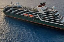
Seabourn schedules expanded 2028–2029 expeditions with pole-to-pole cruise
Seabourn has opened bookings for its 2028–2029 expedition program, presenting an extended series of voyages shaped by increased activity in...
April 24, 2026 - Cruise Industry
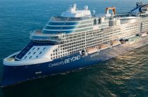
Celebrity Cruises' 2027-2028 fleet deployment schedule
Celebrity Cruises has unveiled its global fleet deployment schedule for 2027–2028, outlining an extensive program that spans the Caribbean...
November 12, 2025 - Cruise Industry
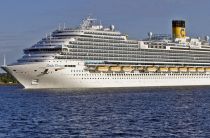
Carnival Firenze redeployed to the Caribbean (homeported in Miami and NYC)
CCL-Carnival Cruise Line announced that beginning with the 2026–2027 season, the Vista-class vessel Carnival Firenze will be redeployed...
September 7, 2025 - Cruise Industry
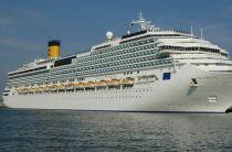
Costa Serena ship’s 2026 World Cruise spans Asia, Oceania, Australia, South America
Costa Cruises' ship Costa Serena has a global voyage from Tokyo to Buenos Aires, scheduled for October 18 to December 22, 2026. The 66-night...
July 1, 2025 - Cruise Industry
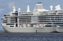
Silversea's ship Silver Ray starts inaugural 71-day World Cruise around South America
Silver Ray, the newest addition to the Silversea fleet, set sail on January 20th, 2024, marking the commencement of her inaugural Grand Voyage - a 71...
January 30, 2025 - Cruise Industry
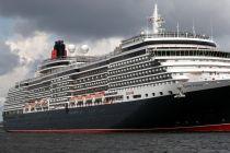
Cunard unveils extended shore excursions for South America 2025 voyages
Cunard Line has announced an array of extended shore excursions as part of its return to South America in 2025, marking its first operation in the...
September 26, 2024 - Cruise Industry
PONANT announces Antarctic Expeditions for 2025-2026 season
The French ultra-luxury cruise travel company PONANT presents an opportunity to voyage to the Antarctic from October 2025 to March 2026, as Ponant's...
March 12, 2024 - Cruise Industry
Hurtigruten's ship MS Maud resumes cruises following drydock repairs
After undergoing necessary drydock repairs following weather damage in December 2023, HX-Hurtigruten's expedition ship MS Maud is now scheduled to...
January 21, 2024 - Cruise Industry
Viking EXPEDITIONS starts 3rd Antarctic season and unveils 87-day Arctic to Antarctica cruise
Viking EXPEDITIONS celebrates the initiation of its third expedition season in Antarctica, as the Viking Octantis and her identical counterpart, the...
December 1, 2023 - Cruise Industry
Aurora Expeditions introduces Antarctica 2024-2025 itineraries
Aurora Expeditions Australia unveiled its 2024-2025 Antarctic program of 25 voyages ranging from 9- to 23 days in duration. These voyages will...
April 14, 2023 - show more news